Monday, May 25, 2026, 08:19
4546 readings

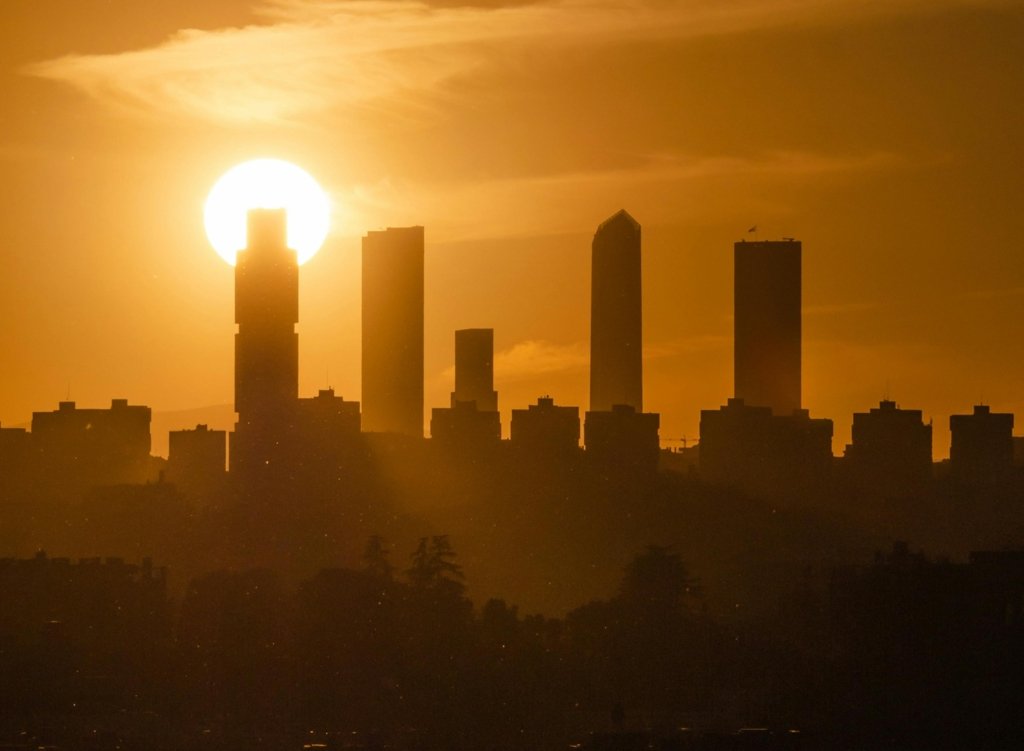
The heat wave has settled in Europe FOTO Pixels
Europe is experiencing an unusual heatwave for the end of May after a powerful “heat dome” formed which brought hot air from Africa over the west and center of the continent. Temperatures are up to 16 degrees above normal for the time, and several countries, from Spain and France to the UK and Germany, are already setting record highs for this time of year.
This dome functions as a lid. The warm air remains trapped below, gradually descends to the ground and heats up even more. At the same time, the strong sun at the end of May contributes to the rise in temperatures, shows Antena 3 CNN.
The heat wave is unusual for May. The most affected countries will be Spain, Portugal, Ireland, the United Kingdom, France and Germany. Temperatures are 12-16 degrees Celsius higher than normal values for the end of May.
It’s the strongest heat dome seen so far in 2026. Millions of people are experiencing mid-summer temperatures, even though it’s still May on the calendar.
Over the past weekend, several areas in western Europe have already recorded record temperatures. In the United Kingdom, the hottest May day in almost 80 years was recorded, after the temperature in London reached 32.3 degrees Celsius.
At the same time, southern and southwestern Portugal, Spain and France had extreme highs of between 35 and 38 degrees Celsius. In Italy, 31-34 degrees Celsius were recorded on Sunday, and in Germany, in the Alps and in some parts of the Balkans, temperatures reached 30-33 degrees Celsius.
In the coming days, the air mass will become even hotter in many countries as the heat dome strengthens. Because this weather pattern reduces cloud formation and keeps warm air trapped close to the ground, both maximum and minimum temperatures could break monthly records at hundreds of weather stations across western Europe.
What is a heat dome
A heat dome forms when temperatures become extremely high over a large area. The phenomenon is important because it can keep the heat locked in for several days.
Usually, the dome occurs when an area of high pressure settles over a region. The air becomes stable, the clouds are few, and the heat gradually builds up close to the ground.
The term is mostly used when a large area of high pressure remains stuck over a large part of the continent. If the situation is very stable, the episode may last several days or even weeks.
The heat dome works like a lid placed over a pot. Warm air is trapped below, and layers of air descend toward the ground. As it descends, the air warms and causes surface temperatures to become very high.