The possibility that Colombia faces an El Niño “superphenomenon” has gained space in public debate in recent weeks. However, both scientific evidence and international forecasts agree on a key point: there is still no certainty about the intensity that the climate event could reach.
READ ALSO
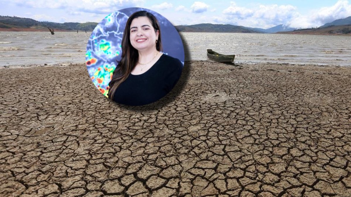
This was explained by the director of Ideam, Ghisliane Echeverry Prieto, pointing out that the El Niño phenomenon is not a local event nor is it predictable with absolute precision at this stage. “It is not a position of the authorities, it is what science says,” he stated, referring to the current uncertainty surrounding climate models.
In Colombia, the arrival of El Niño translates into a decrease in rainfall in several regions. Photo:iStock
The most recent report from the Climate Prediction Center of the National Oceanic and Atmospheric Administration (NOAA), with a cut-off date of April 6, 2026, reinforces that caution.
According to the report, La Niña conditions currently persist, but a transition to a neutral state is expected in the coming months. Subsequently, there is a 62% chance that El Niño will emerge between June and August 2026 and persist at least until the end of the year. However, the document does not establish the intensity of the eventual phenomenon, a key aspect to measure its impacts.
The “spring barrier” and uncertainty
According to Echeverry, the lack of certainty is not exceptional. This is a recurring behavior in climate models during this time of year, known as the “spring barrier”, which limits prediction capacity.
“Every year is the same. This year is no exception. That is why we talk about uncertainty, but surely in the coming days we will be close to overcoming that barrier and we will have much more certainty,” he explained.
In this context, the official asked for caution in the face of versions that anticipate an extreme event. “The voices that speak of a historical event would have to look at what they are referring to. It may be that they are using models that have overestimations,” he warned.
The NOAA report shows a picture in transition. Sea surface temperatures in the equatorial Pacific have gone from below-average values—characteristic of La Niña—to near-neutral conditions, with incipient signs of warming in some areas.
Ideam and NOAA agree that the phenomenon is likely in 2026. Photo:iStock
In recent weeks, the anomalies have been mixed: temperatures below average in the central-eastern Pacific, but above in the western Pacific and in the far east. Additionally, data indicate that subsurface warm anomalies have expanded and reached the surface in some regions, which typically precedes the development of El Niño.
Even so, the ocean-atmosphere system has not finished fully coupling, a necessary condition to consolidate the phenomenon. This coupling, emphasizes the director of Ideam, is decisive for the impacts to materialize. “If there is not this coupling, a phenomenon will not be consolidated and these impacts will not be had,” Echeverry explained.
READ ALSO

Intensity: the key that cannot yet be defined
One of the central points of the debate is the intensity of the phenomenon. According to Echeverry, the classification depends on the temperature anomaly in the Pacific Ocean: between 0.5 °C and 1 °C is considered weak; between 1 °C and 1.5 °C, moderate; between 1.5 °C and 2 °C, strong; and above 2 °C we speak of a “superchild”.
Although these extreme events have occurred, they are rare. And, at this point, the evidence does not allow us to say that that will be the case. “Science today says that we have uncertainty when talking about the intensity and duration of the phenomenon,” he reiterated.
Another key element is that El Niño does not affect all regions in the same way. It is a global phenomenon that alters rainfall and temperature patterns in different parts of the planet.
Ghisliane Echeverry Prieto, director of Ideam. Photo:Ideam
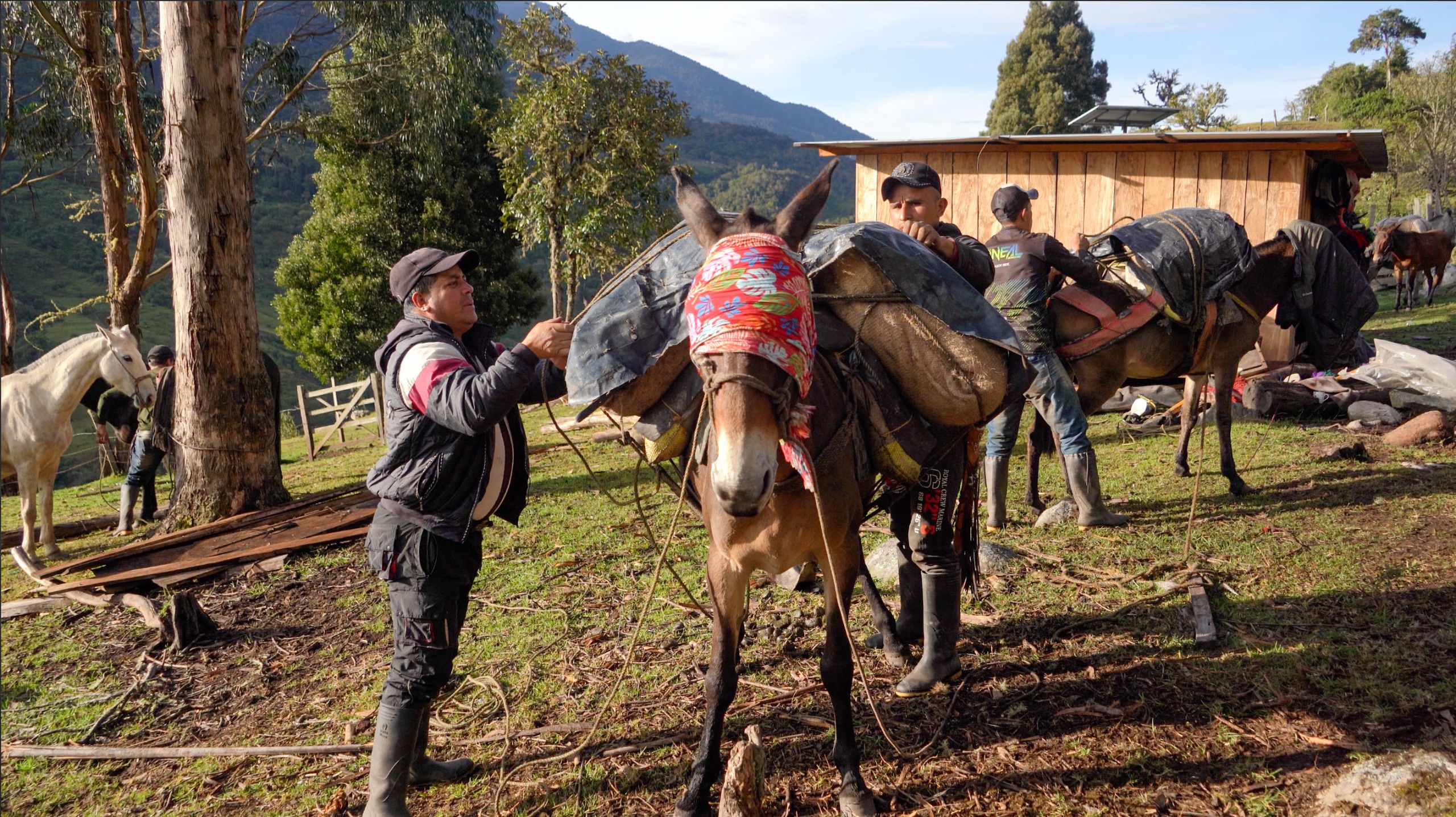
In the case of Colombia, it is historically associated with decreased rainfall in large areas of the country, especially in the Caribbean, Andean and Pacific regions. In contrast, regions such as the Orinoquía and the Amazon usually experience less marked impacts in terms of rainfall.
However, the effects can vary depending on multiple factors: the duration of the event, the time of year in which it is consolidated and the previous conditions of the territory.
For example, a moderate but prolonged phenomenon can generate more severe impacts than a strong but short-lived one. Likewise, if El Niño coincides with the dry months—December, January and February—its effects can intensify significantly.
READ ALSO
Climate crisis and new risks
Echeverry also warned that the current context of the climate crisis changes the rules of the game. “An El Niño phenomenon 40 or 50 years ago is not the same as one today,” he noted, mentioning the increase in global temperature and the accumulation of vulnerabilities.
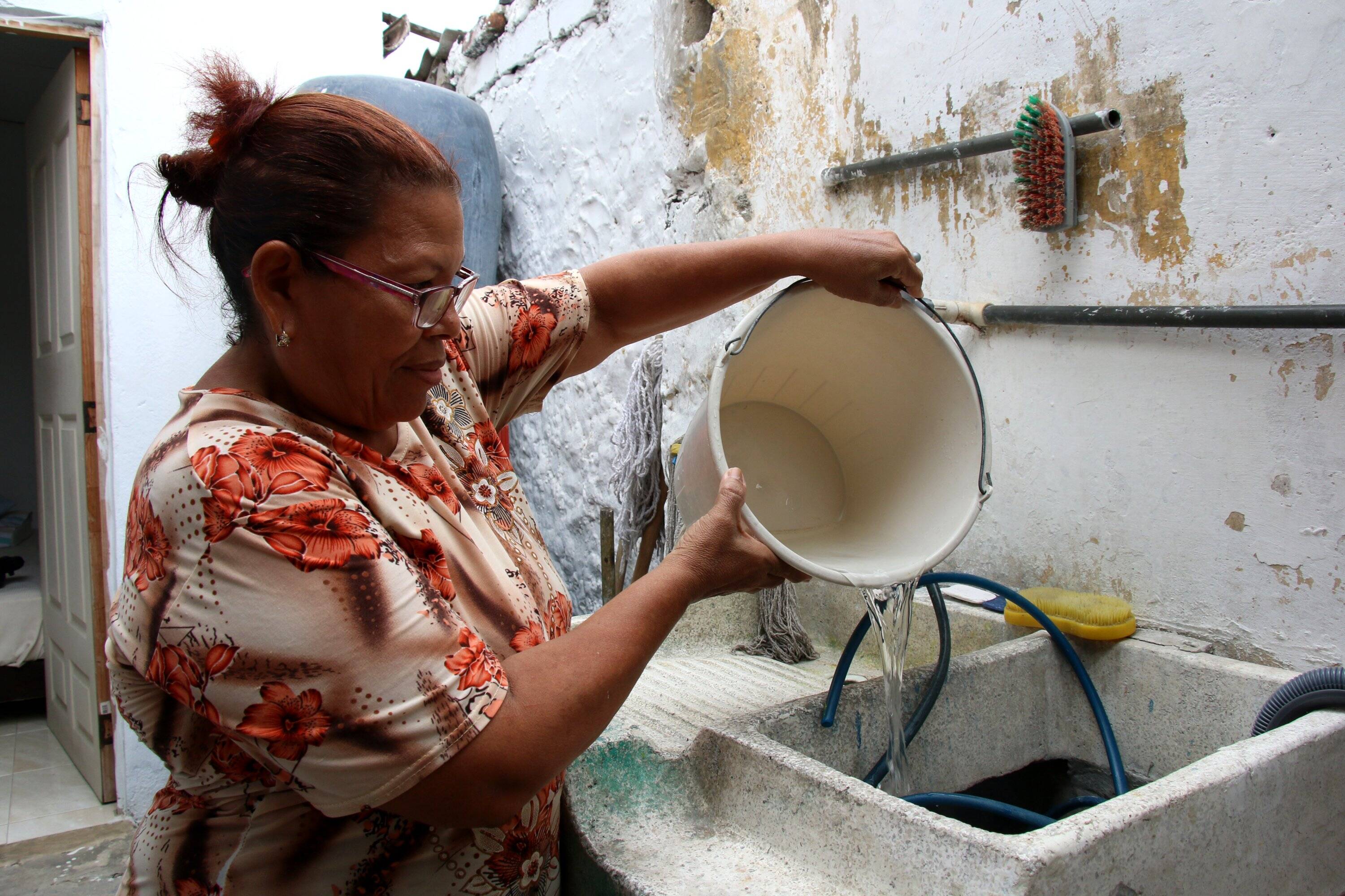
This implies that even a weak event could generate significant impacts, especially in sectors such as water, energy and agriculture.
In the case of water, the main risk is shortages, aggravated by the increase in demand during periods of high temperatures. In energy, dependence on hydroelectric plants makes the reduction of reservoirs a critical factor. And in agriculture, the combination of drought, heat and frost can seriously affect crops.
READ ALSO

In summary, current forecasts suggest that El Niño is likely in the second half of 2026, but do not support, for now, the idea of a “superphenomenon.”
The authorities’ recommendation is clear: avoid early conclusions and follow the evolution of the models in the coming weeks, when seasonal uncertainty is overcome.
“The best thing is prudence and speaking from science,” concluded the director of Ideam.
EDWIN CAICEDO
Environment and Health Journalist
@CaicedoUcros