April 25, 2026 at – 15:03
After the rains this Sunday, a polar cold front will enter the country and will be felt for several days. The critical point will be felt on Tuesday in several parts of the country, especially in the south, and very low thermal sensations in Asunción and Central.
According to the latest data from the Directorate of Meteorology and Hydrology (DMH)a cold front coming from the south will enter Paraguayan territory starting this Sunday night.
According to data, low temperatures will arrive with moderate southerly winds and a notable decrease in cloudiness, factors that will enhance the feeling of cold, especially during the early mornings and the early hours of the morning.
When to take out the coat?
The decrease in the thermometer will be gradual but forceful. Although the change will be felt on Monday, the cold peak will occur during the early morning and morning of Tuesday.
Read more: Meteorology: will the rains and storms continue this weekend in Paraguay?
As is usual in these weather systems, the southern departments of the Eastern region They will be the gateway for cold air and, therefore, the most affected.
- Itapúa, Misiones and Ñeembucú: In these areas, the minimum temperatures could break the 10°C barrier, placing them between 8°C and 9°C on Tuesday.
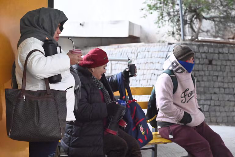
- Asunción and Central: The change will be abrupt. From maximum temperatures around 30°C, we will experience a dawn of 12°C on Tuesday, with an afternoon that will barely reach 23°C.
- Paraguayan Chaco: Although it is usually a warmer region, the decrease will bring the minimums to the 15°C.
Faced with this first significant decline of the year, authorities urge citizens to take precautions. Special care is recommended with children, older adults and people with respiratory diseases.