The anticyclonic omega-situation, which is defined by a deep cyclone over the Atlantic and a cyclone east of the Baltic and a tongue of hot, dry air of African origin over central and western Europe, created a weakly moving droplet of warm air. The movement of the system is very slow towards the northeast, and our regions are at the front of that heat wave. High-altitude winds from the north and northeast occasionally bring small amounts of moist air from the north, causing local instabilities in the form of thundershowers and strong development of convective cloud cover in the afternoon, the forecast says. Bojan Lipovšćak for N1.
Temperatures reach 40
We can imagine the heat wave as a large heat wave that will move over our regions for the next seven days with a constant increase in air temperature and a decrease in cloud cover, so the weather will be dry, with plenty of sun and very high day and night temperatures. By the end of June, the air temperature is expected to rise to 40 °C, with warm nights with temperatures above 20 °C and in the mountainous regions of the interior, and on the Adriatic and along the Adriatic, due to the Fenian effect of the storm, night temperatures will be around 30 °C.
Dramatic change at the beginning of July
The end of the heat wave, according to the calculations of the numerical weather forecast models, will come to our region at the beginning of July, and it will be marked by a stormy, violent penetration of the cold front with a temperature drop of 15 to 20 degrees, strong gusts of wind and thunder showers with a high probability of hail. N1.
The weather today
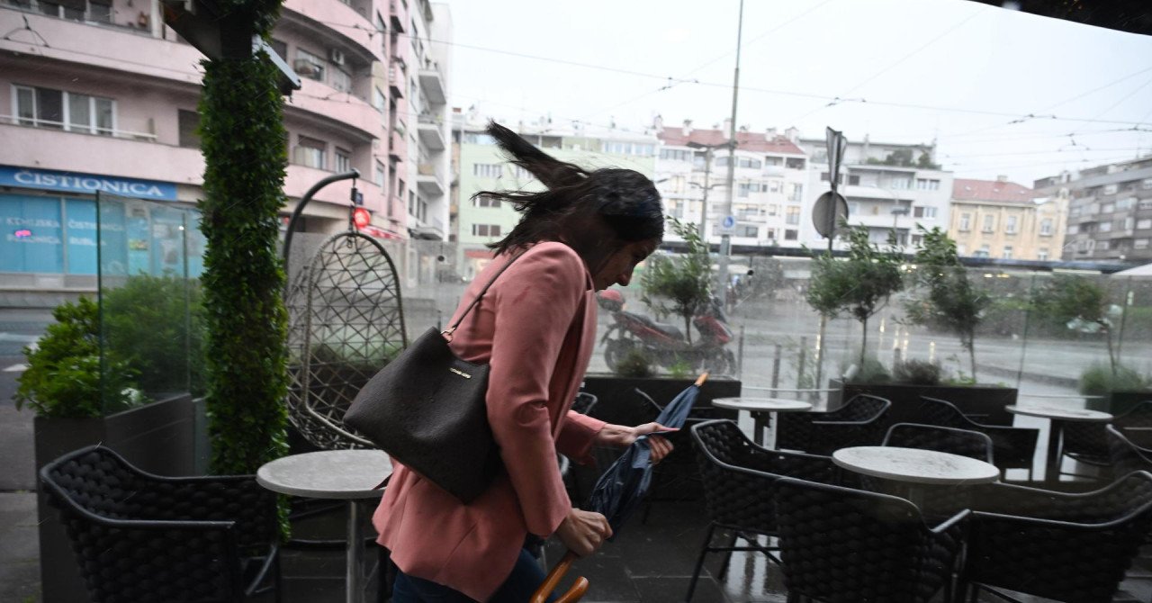
Today and tomorrow the weather will be sunny, warm and hot with a weak development of daytime clouds. Only in Istria and in the extreme south of the Adriatic, but also in Baranja, a stronger development of convective clouds is possible with occasional showers.
Maximum daytime temperatures will be from 30 to 35 °C, and night temperatures in the interior from 18 to 21 °C. In the Adriatic, with the night storm and its fen effect, the lowest temperatures will be around 27 °C.
Weak daily winds will blow in the interior, predominantly from the north and northwest direction, and along the Adriatic a weak gale that will weaken during the day and turn to the mistral, strengthened in the open sea of the central and southern Adriatic. The sea temperature is high, from 23 to 26 °C, and the ultraviolet index is high and very high.