Advertising
Monday, April 27, 2026, 10:22 a.m
7035 readings
In the framework of systematic property registration works, there are many situations in which the existing documents are not complete or do not fully reflect the current situation of the buildings. These cases can arise for various reasons, such as the lack of documents, undisputed successions, changes made over time to the property or failure to update the existing records.
The systematic property registration process is designed so that these buildings can also be registered, to ensure the most correct and complete records.
In the first stage, the specialists who carry out the systematic registration work analyze the existing documents, such as property titles, sales-purchase contracts or other relevant documents. This information is correlated and supplemented with existing data in local government records, such as agricultural registers or other administrative documents.
Measurements and checks carried out in the field also play an essential role. Through the cadastral measurements, the location, surface and limits of the buildings are established, and these data are correlated with the information in the documents. In this way, it is possible to identify and clarify any differences between the situation in the documents and the situation in the field.
Based on all this information, the technical documents of the cadastre are drawn up, which include the available data on the property and the rights holders. Thus, the building is included in the cadastral records, following which possible legal aspects can be completed or updated later, according to the legal provisions.
An important moment in this process is the public consultation stage, where the technical documents are displayed for 60 days. Owners must check the information on their properties and report any inconsistencies by submitting rectification requests, thus contributing to the correctness of the final data.
Through these works, including the properties for which the documents are incomplete are integrated into a unitary record, which reflects the existing situation and can be updated over time. This approach helps to clarify the situation of the properties and to create a complete and functional database.
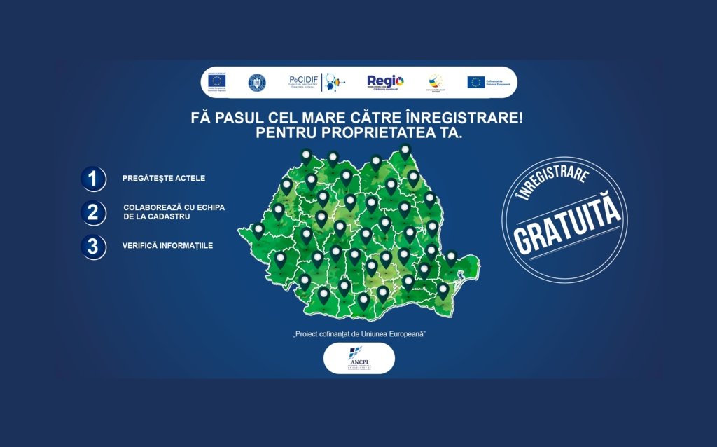
The National Agency for Cadastre and Real Estate Advertising is running Phase II of the Major Project “Increasing the degree of coverage and inclusion of the property registration system in rural areas of Romania“, co-financed by the Intelligent Growth, Digitization and Financial Instruments Program (PoCIDIF) 2021–2027. The project is phased, continuing the investments initially started by the Regional Operational Program (POR) 2014–2020. The works are free for the holders and aim at the registration of buildings (houses and land) in 660 communes, with an estimated area of more than 5.7 million hectares.
Learn more at: https://www.ancpi.ro/pnccf/stadiu-lucrarilor.html.
FOR YOUR PROPERTY.