It is impossible to imagine Khujand without the Syr Darya and bridges across it. They appeared here hundreds of years ago. First – wooden pontoon crossings, then – modern reinforced concrete structures.
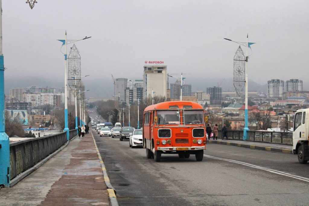
Once upon a time, camels and rafts with timber were ferried across the river. Today there are dense flows of cars crossing the bridges, and their number is increasing.
Maskovchi and Kemachi
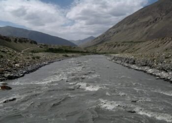
The history of Khujand is difficult to separate from the Syrdarya. It was this river that largely determined the development of the city – the second largest and longest river in Central Asia after the Amu Darya. The Syrdarya River flows through the territory of the Sughd region for more than 100 kilometers.
The former chief architect of Khujand and the Sughd region, Muzaffar Yunusov, spoke about the role the river played in the city’s past.
“At the beginning of the 20th century, there were about 127 mahallas in Khujand. Almost all of them were named either by place or by type of activity. And the only mahalla connected with the river was the Kemachi mahalla,” he says.
The word “kema” translated from the Tajik language means “boat”. It was here, not far from the embankment, that people lived who built boats and transported goods along the river.
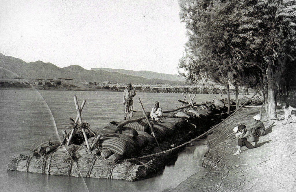
“The Syrdarya was an important trade route back then. From here dried fruits were transported to the Russian Empire. “Maskovchi” was the name given to those who transported goods to Moscow, and those who worked on boats were called “Kemachi,” continues Yunusov.
According to him, on the banks of the Syrdarya – opposite the current building of the regional administration and not far from the central bridge – there were once caravanserais, workshops and teahouses. A river crossing operated here for a long time, and later one of the city’s first pontoon bridges appeared.
The first toll bridge across the Syrdarya
The history of the first capital bridge across the Syrdarya is described in detail in the works of historians Abdullojon Mirbabaev and Olimjon Makhmudov, who devoted their entire lives to studying the history and culture of the Tajik people.
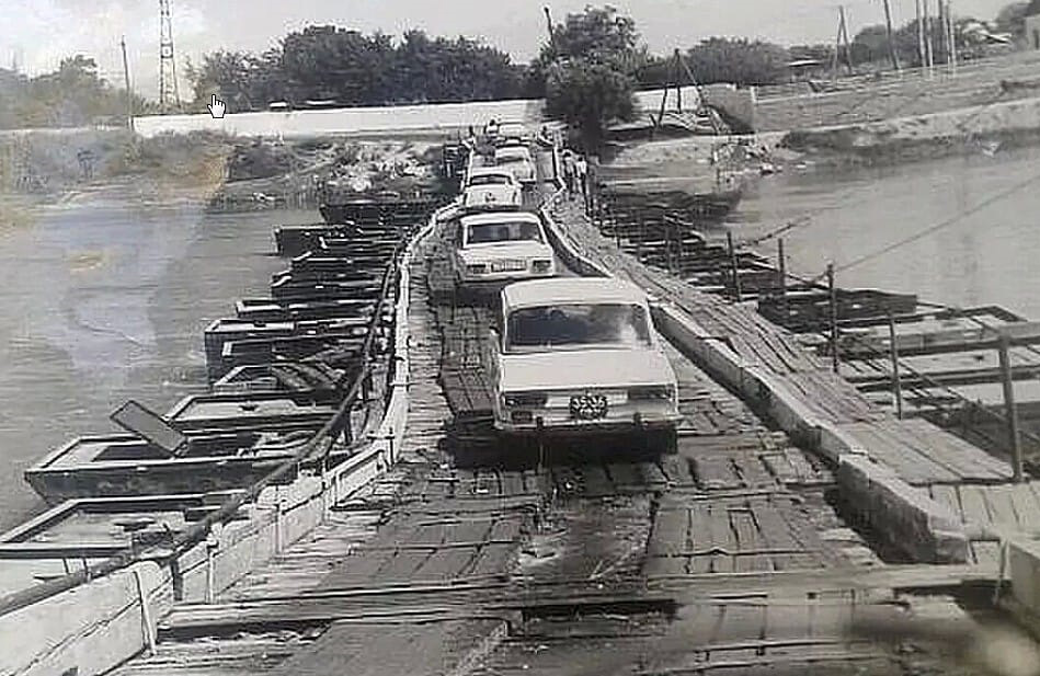
Before joining the Russian Empire, Khujand remained a typical Central Asian city with narrow streets and a ferry crossing across the Syr Darya. After 1866, the new authorities took up improvement, and one of the top priorities was the construction of a permanent bridge.
The contract for the construction of the wooden bridge was given to retired artillery officer N.D. Flavitsky, a native of St. Petersburg, who previously rented the Khujand ferry crossing. According to the agreement, he and his descendants were given the right to receive income from the operation of the crossing and the future bridge for 30 years.
The construction project was prepared by architect Lenkhanov, and communications engineer Zubov participated in the work. For construction, more than two thousand timber trunks were cut down, which were transported to Khujand by river.
The bridge took more than a year to build. On May 3, 1874, a special commission conducted tests and accepted it into operation. The wooden structure, about 80 fathoms (146 meters) long and 18 arshins (12.8 meters) wide, had two passageways and a pedestrian part. Despite the shortcomings, for example, the lack of fences, the bridge was opened for traffic.
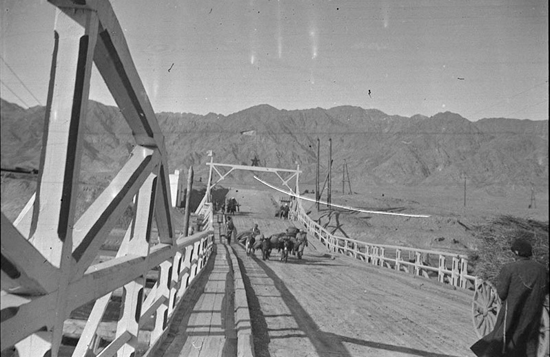
The crossing was paid: a pedestrian paid 3 kopecks, a horse – 10, a camel -15, a cart with one horse – 20 kopecks. Rafts with timber were much more expensive. Military crews and troops passed free of charge.
After the contract expired in 1900, the bridge was transferred to the city administration. However, the spring floods of 1907 destroyed the structure. A year later, the remains were dismantled, and instead of the bridge, a ferry crossing was again organized, which existed until the end of the 1940s.
Seismicity, seams and high grade cement
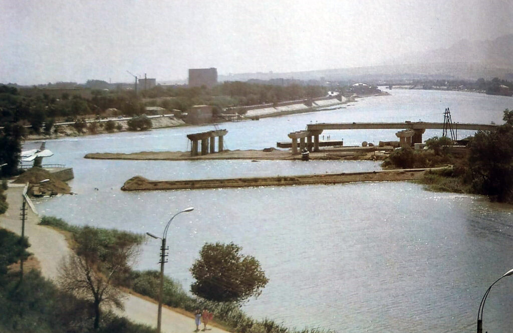
Construction of the first reinforced concrete bridge began in 1962, already during the Soviet period of active development of the city.
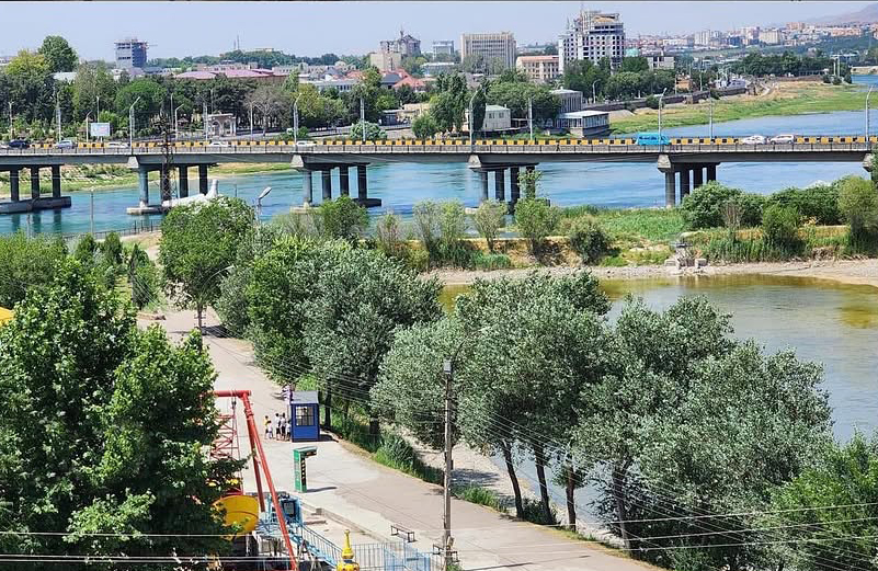
“The central bridge was designed by engineer Vavilova from Dushanbe and architect Grigoriev. Its length is 250 meters, width – about 12 meters. People call it the old bridge,” said Muzaffar Yunusov.
Later, a second bridge appeared, the “Yubileiny”, or, as the townspeople call it, the “new” bridge. Its length is 300 meters. Specialists from the Tashkent trust “Moststroy” were hired for construction. Subsequently, they were nominated for state awards.
According to Yunusov, the location of the bridges is subject to strict engineering requirements.
“All bridges are built on the narrowest section of the river and strictly perpendicular to its flow. This is a mandatory rule. Otherwise, the load on the supports and the risk of erosion increases,” he explains.
A bridge is not just a road across water, but a complex hydraulic structure. During their construction, high-grade cement is used, and the structures are initially designed for seismic loads.
“When you drive on a bridge and feel the car bouncing slightly, this is a temperature-seismic seam. In summer the structures expand, in winter they contract. Such seams are required across certain spans – 24 or 36 meters,” says the specialist.
In addition to transport and pedestrians, bridges also perform an engineering function. They carry siphons and communications – elements of water supply, sewerage and gas pipelines. Placing such networks on bridges is more convenient and safer from an operational point of view.
The development of the bridge infrastructure was provided for in the master plan of Khujand in the 1930s. The city became the second in the republic to receive an approved general plan, and even then the construction of new, strategically important crossings was envisaged.
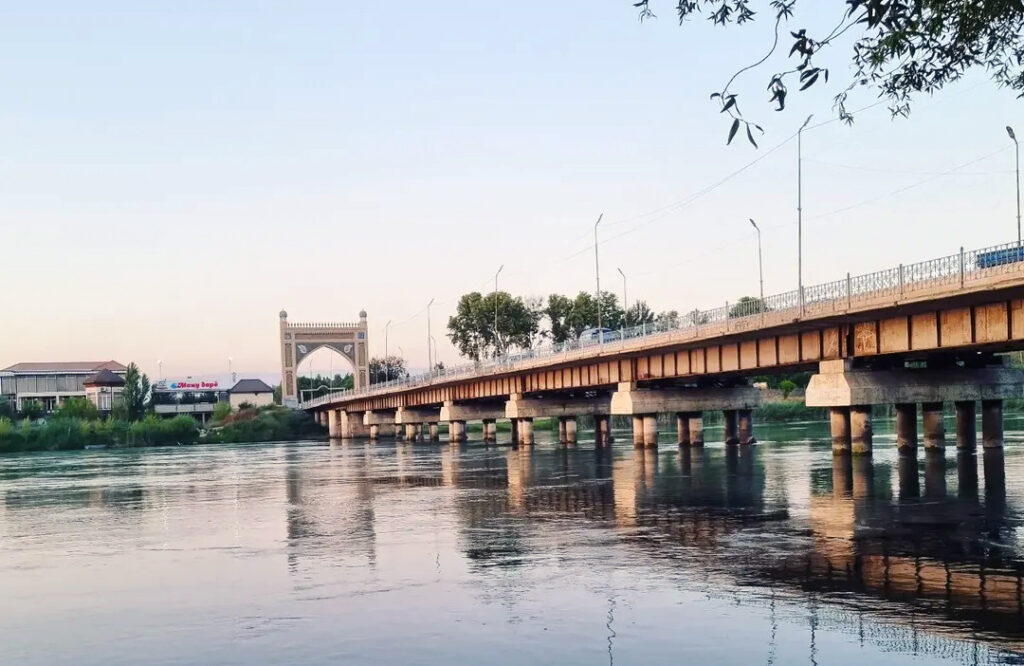
It was in the place designated in the general plan decades ago that a 427-meter-long bridge appeared in 2009, leading towards the Dushanbe-Chanak highway, a key highway connecting the north and south of Tajikistan. The President proposed to call it the National Unity Bridge, and people call it “Chinese” because it was built with Chinese investment.
The general plan also provided for a large main crossing in the direction of the Fergana Valley. Today it is known as the “Bridge of Amun”, named after the local businessman who built it in memory of his deceased brother.
A new era of bridges
Today, the history of Khujand bridges continues – it is planned to build a new crossing over the Syr Darya. It will connect the 12th microdistrict of the city and the Razzok mahalla.
According to the project, the total length of the bridge will be 310 meters, width – 26 meters, which is almost twice the size of the central bridge. There are pedestrian paths on both sides, as well as circular access roads to evenly distribute traffic flows.

The need for construction is dictated by the growth of the city and the increase in the number of personal and public transport. Existing bridges today operate under high loads, especially during peak hours.
Simultaneously with the construction of the new crossing, reconstruction of the old bridge is planned: its width will be increased to 16 meters, and the roadway will be expanded.
The new bridge will be the next stage in the development of the city – just like two hundred years ago, when Khujand was looking for ways to make the path between the two banks faster and more convenient.