San Pedro Sula.
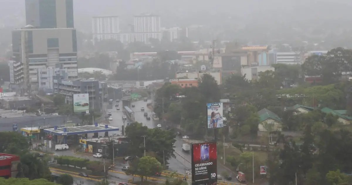
This Monday, the Honduran territory will have a day marked by high temperatures, the presence of Saharan dust and variable conditions, according to the forecast of the Secretariat of Risk and Contingency Management (Copeco).
During the first hours of the day a mostly dry environment will remain in most regions; However, for the afternoon, rain and light showers are expected to develop in sectors of the eastern, northern and central areas of the country.
According to the forecast, these precipitations will be associated with the entry of humidity from the Caribbean Sea, driven by accelerated easterly winds.
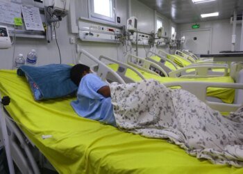
Mario Centeno, forecaster on duty, explained that the presence of dust from the Sahara continues over Honduras, with approximate concentrations of 12 micrograms per cubic meter. This phenomenon could affect air quality and reduce the intensity of some precipitation.
Mostly dry conditions in the morning; However, in the afternoon, the entry of humidity from the Caribbean Sea caused by the accelerated easterly wind will generate rains and light showers in the eastern region and northern and central sectors. The dust of the Sahara continues with… pic.twitter.com/D6bTKLGAvh
— Secretariat of Risk and Contingency Management (@copecogob)
June 29, 2026
In maritime conditions, Copeco detailed that the waves will remain between one and three feet both on the Caribbean coast and in the Gulf of Fonseca. In addition, the country continues under the influence of the full moon phase.
Regarding temperatures, the southern region will be the warmest area, with maximums of up to 38 degrees Celsius. In the north, values of up to 34 degrees are expected, while the eastern, western and central regions would reach 33 degrees.
In the island area, a maximum temperature of 31 degrees is forecast, while for Tegucigalpa a maximum of 31 degrees and a minimum of 19 are expected.