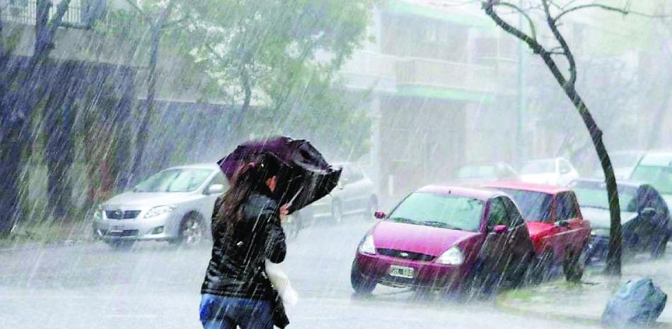
The Dominican Institute of Meteorology (Indomet) reports that during the next few days, humid and unstable conditions will persist with heavy downpours at times, thunderstorms, gusts of wind, and possible isolated hailstorms in several locations in the country.
For this Wednesday, the effects of the wind, in combination with a trough at various levels of the troposphere, generate weak to moderate rains towards towns near the Atlantic coast, from the early hours of this Wednesday.
In the afternoon, locally moderate to heavy downpours, thunderstorms and gusts of wind are expected over La Altagracia, La Romana, El Seibo, Hato Mayor, Monte Plata, Sánchez Ramírez, Duarte, María Trinidad Sánchez, Espaillat, Puerto Plata, Monseñor Nouel, La Vega, Santiago, San José de Ocoa, Peravia, Azua, Independencia, Pedernales, Bahoruco, San Cristóbal and El Gran Santo Domingo. These precipitations will extend into the night.
The National Forecast Center of the Dominican Institute of Meteorology (Indomet) maintains meteorological alerts regarding the risk of urban flooding, as well as flooding of rivers, streams, ravines, gusts of wind, electrical storms and possible landslides for: San Pedro de Macorís, La Altagracia, La Vega, María Trinidad Sánchez, Valverde, Duarte, La Romana, Santiago, El Seibo, Puerto Plata, Independencia, Dajabón, Santiago Rodríguez, San Cristóbal, Monsignor Nouel, Baoruco, Monte Cristi, Samaná, Espaillat, Elías Piña, San José de Ocoa, Hato Mayor, Hermanas Mirabal, San Juan, Monte Plata, El Gran Santo Domingo and Sánchez Ramírez.
It still maintains the recommendations for small and medium-sized boats due to the strong waves on the Atlantic coast.
Local forecasts
In Greater Santo Domingo there will be cloudy increases with showers, thunderstorms and gusts of wind. Minimum temperatures between 21 °C and 23 °C, and maximum temperatures between 31 °C and 33 °C.