The Colombian Air Force reported this Monday, September 14, that located “indications” corresponding to the Cessna T-206 aircraft with registration HK-4985which disappeared while covering the route between Condoto, Chocó, and Guaymaral Airport, in Bogotá.
READ ALSO
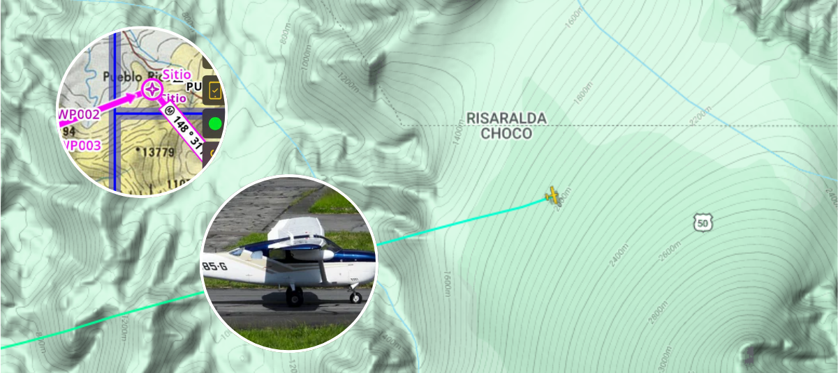
The announcement came after the tracking efforts carried out since communication with the plane in which they were traveling was lost. a pilot and four passengers.
Photos of the crash site of the missing aircraft revealed
According to the information published by the institution in X, once the loss of communication with the aircraft was known, Search and rescue protocols were activated through the National Personnel Recovery Center.
The entity provided information about the whereabouts of the aircraft. Photo:Air Force
For operations were used “Bell-212, UH-60 Black Hawk and C-90 aircraftequipped with specialized geolocation equipment, with which tours were carried out over the Oscordó village, in the jurisdiction of Pueblo Rico, Risaralda.
READ ALSO
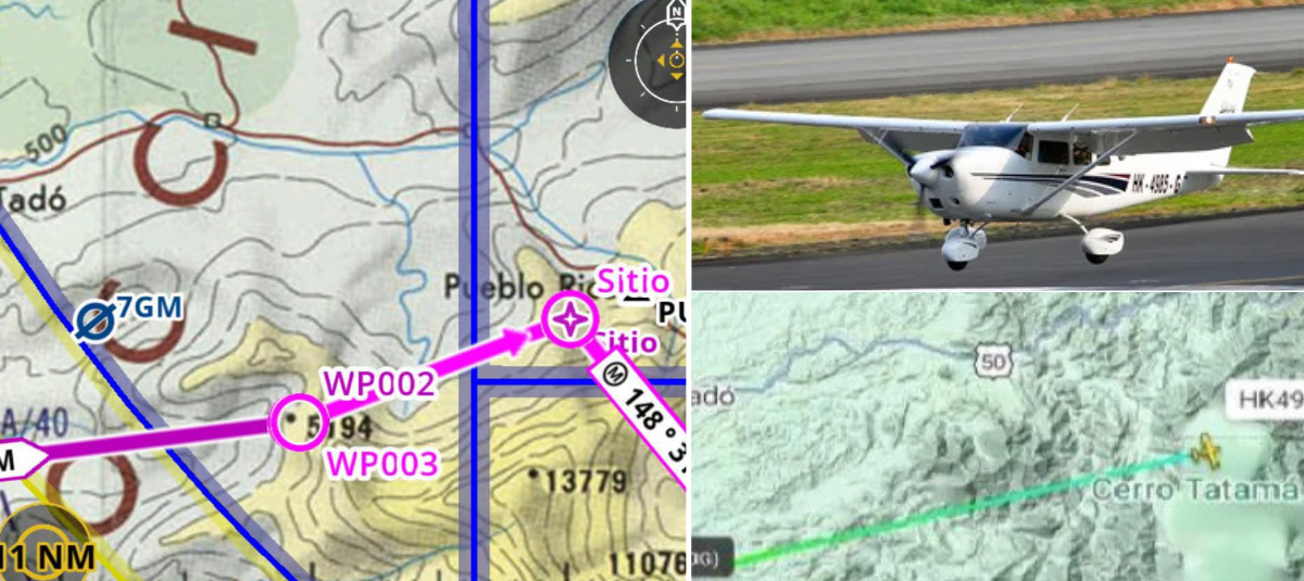
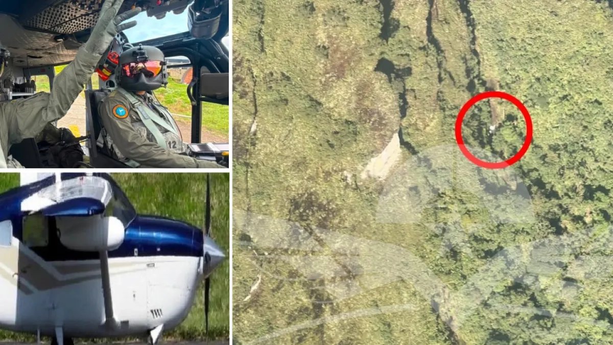
Regarding the latest news, the Air Force indicated that at approximately 7:30 in the morning this Monday, A UH-60 Black Hawk aircraft “located evidence corresponding to the aircraft in the vicinity of the Tatamá National Natural Park.”
It should be noted that the institution specified that the work had not finished and that “continues with the search and verification missions of the emergency,” in coordination with the Civil Aeronautics, relief agencies and competent authorities.
The place where the remains of the missing plane would be. Photo:Air Force
For its part, the Technical Directorate of Accident Investigation (DIACC), the official body of the Civil Aeronautics of Colombia in charge of investigating civil aviation accidents and incidents in the national territory, reported through a new statement thatThe rescue teams managed to precisely establish the impact site of the Cessna T206 aircraft, registration HK4985.
According to the entity, the point is located in a high mountain area that is difficult to access, located at approximately 9,000 feet above sea level.
“The Civil Aeronautics of Colombia reports that the rescue teams managed the precise location of the impact site of the crashed Cessna T206 aircraft in a high mountain area that is difficult to access,” he noted in the document.
Air Force rescue actions. Photo:Air Force
The Civil Aeronautics explained that the location was possible thanks to the coordinated work from the Unified Command Post (PMU), based in Medellín, in which the Colombian Air Force, the DIACC, the Search and Rescue Service (SAR) of the Aerocivil participate, the Aeronautical Search and Rescue Group of Colombia (BRAC), the Directorate of Air Navigation Operations (DONA), the National Personnel Recovery Center (CENRP), the Administrative Department of Antioquia Disaster Risk Management (DAGRAN), the Colombian Civil Air Patrol, the National Police and the Mayor’s Office of Tadó.
In the most recent statement, Aerocivil made a “recognition” to the Colombian Air Force and the crew ofthe UH-60L FAC 4138 “Angel” helicopter, whose operation from the air allowed progress in the geographical identification of the scene of the incident.
The entity indicated that the work of this aircraft was “determinant for the geographical identification of the accident”.
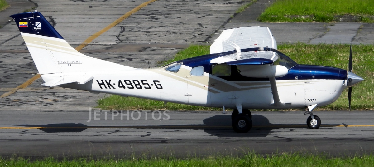
For its part, it was confirmed that the plane involved is a Cessna T206 belonging to the Colombian Civil Air Patrol. that covered the route between the Mandinga de Condoto Airport and the Guaymaral Airport and that, according to the company’s registry, there were five people on board: the pilot Mehmet Cankaya and the passengers Perla Costanza Álvarez, Sandy García, María Guzmán and Yuliza Figueredo.
The Aerocivil stated that the last contact with it occurred at 9:23 in the morning on Sunday, September 13 and that the activation of the “emergency radio beacon was subsequently recorded in the vicinity of the Tatamá hill, 33 miles from the Pereira VOR.”
READ ALSO
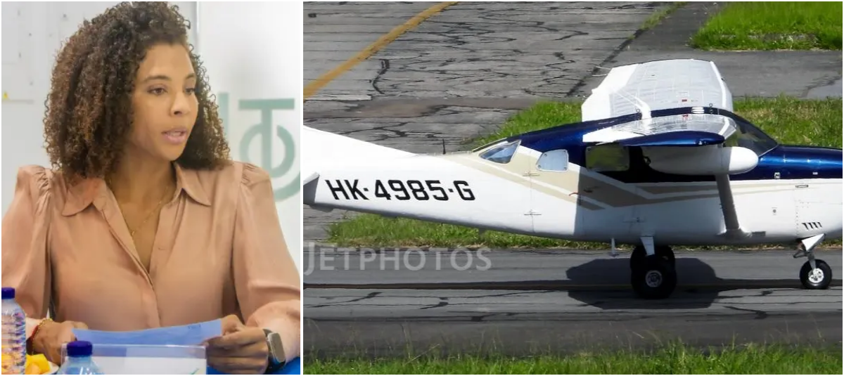
For now, specialized Aerocivil teams remain in the sector, including personnel from the National Personnel Recovery Center, the Technical Directorate of Accident Investigation and the Directorate of Air Navigation Operations.
Air Force rescue work. Photo:Air Force
According to the entity, the meteorological conditions and topographic characteristics of the terrain are currently being evaluated to determine “the safest insertion route for rescuers”. The objective of this phase is to verify the status of the people traveling on the aircraft and begin the “rescue and recovery” maneuvers.
In its statement, the Aerocivil also thanked the participation of the National Army, the National Police and the other relief organizations that have joined the operation.
In a previous interview with Caracol Newsthe mayor of Tadó, Juan Carlos Palacio, also referred to the operation on Monday morning. As he explained, the relief agencies had resumed their work and were concentrating part of their efforts on the places where they had information about the route of the aircraft.
“At this time, the relief agencies have already returned to rescue this aircraft, in the place where we believe or are certain that it flew very low over.”he pointed out. Palacio mentioned the community of Bochoromá, Farallones and Cañaveral, in addition to indigenous communities, and said that there were also reports from the Chatos hamlet and the Brisa de Jovaro community.
READ ALSO
Bochoromá, one of the sectors mentioned during the work, is a rural town of Tadó, in the Alto San Juan region, where black and indigenous communities live. The area is related to the Bochoromá River and the mountainous sector of the Tatamá National Natural Park.
Tatamá Hill reaches 4,250 meters above sea level and is located in the Western mountain range, at a point that serves as the limit between Chocó, Valle del Cauca and Risaralda.
The place where the aircraft disappeared. Photo:Condoto Mayor’s Office
An image released by the Mayor’s Office of Condoto del “accident site” shows the geographical reference of the sector indicated between Tadó and Pueblo Rico, in the vicinity of the mountainous area associated with Tatamá
LAURA NATHALIA QUINTERO ARIZA.
LATEST NEWS EDITORIAL.