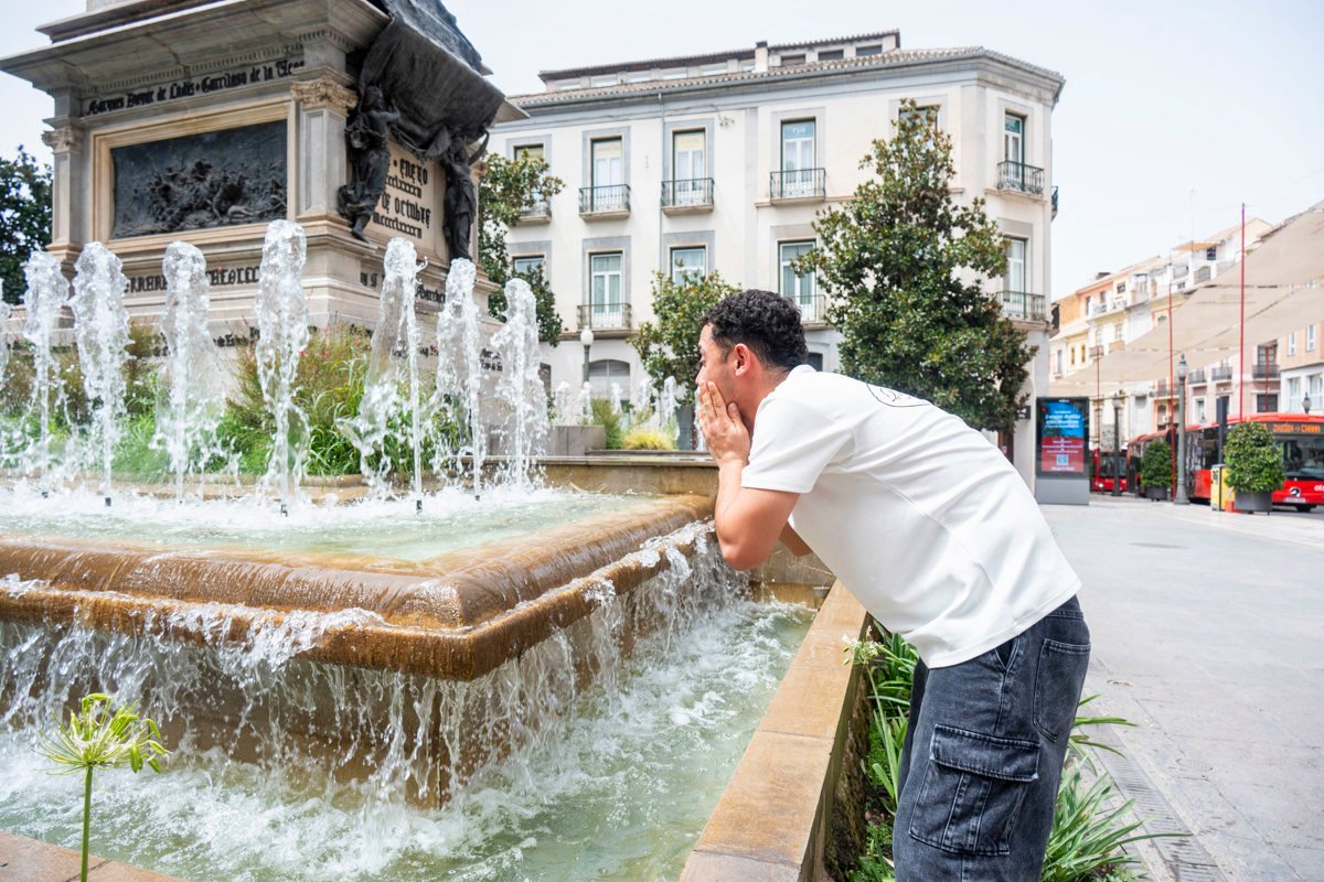
The weather forecast for Spain indicates that this Thursday the heat will be very intensewith special incidence in the Mediterranean area and the south of the peninsula, where thermometers will reach or exceed 42 to 44 °C, according to the spokesperson for the State Meteorological Agency (Aemet), Rubén del Campo, in reports broadcast by the Europa Press news agency.
Although Wednesday was the warmest day overall during the current heat wave, the forecasts for Thursday indicate a notable rise in temperatures in the Mediterranean regions. This is due to the arrival of very dry and overheated westerly winds after crossing the peninsula.
The areas most affected by this thermal rebound on Thursday will be the Ebro and Guadalquivir valleys, the interior of the Valencian Community, the Region of Murcia and the east and south of Andalusia, with local records that could exceed 44 °C in the southeast. Early Thursday morning will also maintain high values, with minimum temperatures above 20 or 22 °C, and even above 25 °C in the Mediterranean area and the Guadalquivir..
Accompanying the high temperatures, the presence of suspended dust will continue, giving rise to haze, and a very high or extreme danger of forest fires will remain in large areas of the country.. Likewise, the formation of storms is expected in the afternoon, many of them dry, accompanied by lightning, hail and intense gusts of wind in the southwest and east of the peninsula..
Starting on Friday, a temperature drop will begin in the west of the peninsula and the Mediterranean, although the heat will persist in the east and the Balearic Islands, where cities like Zaragoza could register up to 42 °C.. On Saturday, a sharp drop is expected that will leave a cool atmosphere for the season in western and central areas, with maximums of 25 °C in Ávila and Segovia, 30 °C in Madrid and 32 °C in Seville.
However, the Aemet forecasts indicate that this truce will be brief, since from Sunday temperatures will begin to rise again in the west and center, extending the increase towards the beginning of next week, when they could be recorded again between 36 and 38 °C.
In the Canary archipelago, the atmosphere will remain warm this Thursday with values above 30 °C in large areas and up to 34 °C in the south of Gran Canaria, before tending towards milder conditions from Sunday with strong trade winds.