Pacific climate experts are warning that some of the region’s plans for rising seas may be based on the wrong picture of how high the land actually is.
The warning comes as a new United Nations report says the world is now expected to overshoot the 1.5°C warming limit, leaving Pacific island nations facing a future of higher seas and greater coastal flooding.
But at a Pacific Meteorological Council media mana class in Tonga this week, Herve Damlamian ocean prediction and monitoring team leader at Secretariat of the Pacific Community (SPC), said there is another problem: the data being used to map the region’s vulnerability can be seriously wrong.
“While satellites have revolutionised earth observation, they remain limited in providing accurate land elevation, especially in densely vegetated areas commonly found in the tropics.
“In many cases, they measure the tops of trees rather than the ground beneath them, resulting in large elevation errors,” Damlamian said.
That matters in a region where many communities live only metres above sea level.
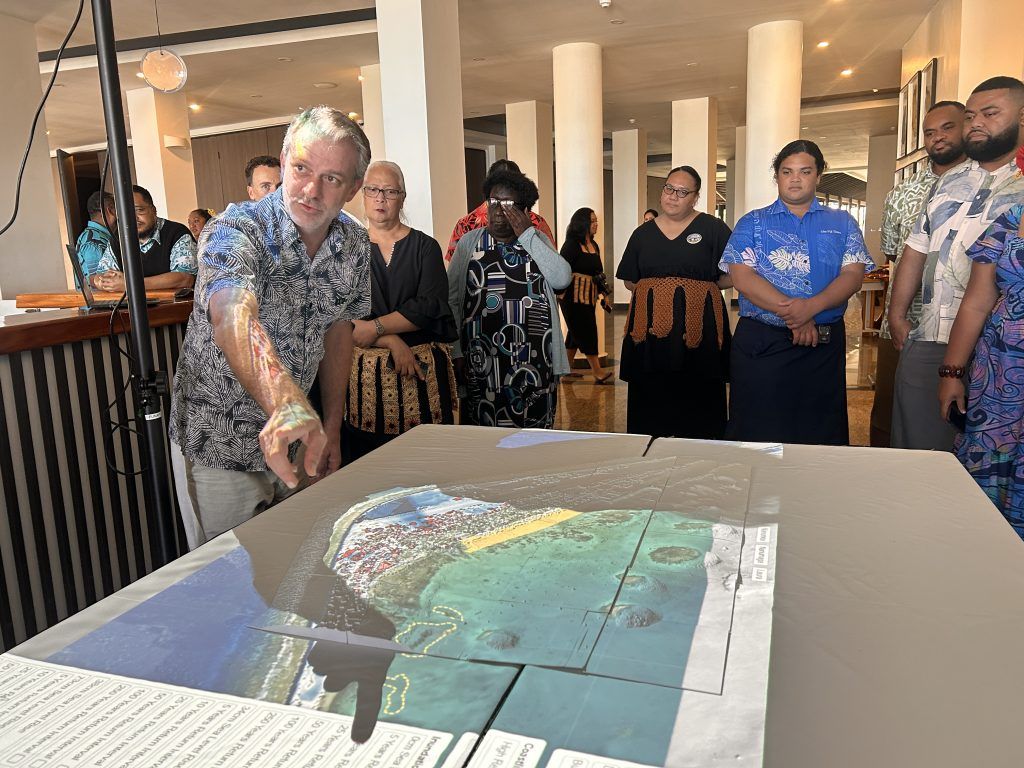
Participants at the Pacific Meteorological Council media masterclass in Tonga discuss how climate science can better support Pacific communities. Photo/SPC
International data assumes around 70 per cent of Kiribati’s population and 60 per cent of Tuvalu’s population live above five metres. But Tuvalu’s actual average land elevation is just 1.5 metres.
“There is a very wrong perception internationally about the vulnerability of Pacific Island communities to sea level rise,” Damlamian told the masterclass.
“How can science support a community adapting to sea level rise if the data can’t tell us if the community is living with its feet in the water or on a five-metre hill?”
SPC ocean prediction and monitoring team leader Herve Damlamian says satellite elevation data can measure treetops instead of the ground beneath them. Photo/unifiji.ac.fj
Damlamian said the gap between the maps and the reality could have major consequences for billions of dollars of climate adaptation work.
The region is planning for 50 centimetres to a metre of sea-level rise using maps that can be three to five metres out, he said.
One solution is already being used in parts of the Pacific: airborne LiDAR, which uses laser pulses from aircraft to measure the actual height of the ground.
Salesa Nihmei, Director of Climate Science and Information at Secretariat of the Pacific Regional Environment Programme (SPREP), says accurate science is only useful if it reaches communities in a form they can understand and trust.
“When a cyclone is approaching, when a drought is affecting our communities, when flood threatens our homes, when an El Niño event changes rainfall patterns, people need to know the information, and they need to know it from sources that they trust. Good science must be communicated effectively.”
Cook Islands has invested in the technology while Tonga completed airborne mapping across its low-lying islands in April.
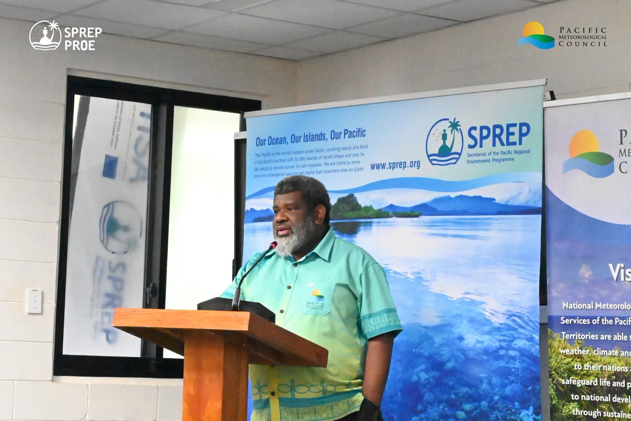
SPREP Director of Climate Science and Information Salesa Nihmei says weather and climate information must reach Pacific communities in a way they can trust and understand. Photo/WMO
Tuvalu has also spent US$2 million (NZ$3.42 million) on LiDAR mapping across its nine islands to build a more accurate picture of its coastal risks.
The findings are stark. A coastal inundation event that would happen once in 100 years today is expected to occur once every decade by 2050 in Tuvalu, and more than once every five years by 2100.
Annual damage from coastal flooding to government infrastructure is also projected to rise from US$15m (NZ$25.66m) now to four times that amount by 2100, equivalent to about 110 per cent of Tuvalu’s current GDP.
Damlamian said getting the basic data right is critical before Pacific countries spend heavily on coastal protection.
“There is a big risk that all the millions of dollars that are going to be invested into this will actually be thrown into the water.”
The warning comes alongside the release of the UN Environment Programme’s (UNEP) Limiting Overshoot report, which says the world must prepare for a period when global temperatures rise above 1.5°C before eventually coming back down.
Watch highlights from the Pacific Media Mana Class in Tonga below.
The UNEP report says overshooting 1.5°C should not mean abandoning the target, with UN Secretary-General António Guterres calling for any period above the limit to be “as small and short as possible”.
Mirey Atallah, UNEP’s Adaptation and Resilience Branch chief, says countries must now think of 1.5°C as a goal they may have to return to from above, while cutting emissions and adapting to climate impacts at the same time.
For Pacific nations, Damlamian said some sea-level rise is already locked in.
“Reducing emissions is essential, but it will not stop sea-level rise. Some rise is already locked in and will continue for centuries. For Pacific Island countries, adaptation is no longer optional.
“Every fraction of a degree of warming avoided matters because it slows sea-level rise and reduces how much future generations will face.”
The message from the Pacific is clear: countries cannot properly prepare for rising seas if they do not first have an accurate picture of the ground their communities are standing on.