By the end of the first week of June, the heavy rains that were available should have cooled the minds of the Indians. But this time the story changed. The Southwest Monsoon touched Kerala’s coast around June 4, but two weeks later, the entire country is still in the grip of severe summer. ‘How hot it is!’ The lament is resounding from Kashmir to Kanyakumari. As the average rainfall falls sharply, the country grapples with a question: Where is our monsoon hiding?

The indications given by the satellite images are not good at all. The mid-June observations from the European weather satellite Meteosat, the US agency Nova and India’s INSAT-3DS are worrying. The presence of heavy monsoon clouds, which are usually seen over central, western and peninsular parts of India at this time, has completely disappeared this time. The sky is empty without clouds.
∙ Why has the monsoon changed? Main reasons
Scientists point out that some sudden changes in the atmosphere and global weather phenomena are behind this hide and seek of the monsoon. The important ones are:
1. Entry of dry air: Throughout the first half of June, persistent dry air drifted over the Indian subcontinent, particularly west and central India, completely inhibited cloud formation. This not only resulted in no rain but also caused the temperature to rise exponentially.
2. Weakness of Somali Jet: A strong low-level wind called the ‘Somali Jet’ brings massive amounts of moist air from the equatorial region to the Indian coast during monsoons. This time the speed and strength of this wind at least kept the clouds from getting enough moisture.
3. Villain role of El Niño: The Indian Meteorological Department had earlier warned that the ‘El Nino’ phenomenon related to the temperature change in the Pacific Ocean would be stronger this time between June and September. In the past, El Niño has weakened monsoon winds and reduced rainfall. The ‘Indian Ocean Dipole’, which was supposed to provide rain in return, remained neutral.

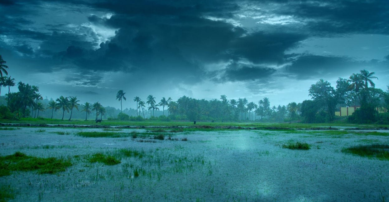
Screengrab from the IMD Satellite Services portal on June 20, 2026
∙ Scary figures of drought
A look at the figures of the Meteorological Department will make the scarcity of rain in the country clear. During the period from June 4 to June 15, the normal rainfall in the country was 53.7 mm, but this time it received only 19.2 mm. That is about 40 percent less rainfall.
∙ Livelihoods and water resources in crisis
With less rain, the country’s water reservoirs are drying up. Maharashtra’s dams now hold only 24.5 percent of their total storage capacity. The condition of water bodies in Gujarat is similar. Mumbai, the country’s financial capital, has already imposed strict water restrictions. The municipal corporation was forced to take drastic measures after the water levels in seven lakes that supply water to Mumbai dropped. Mandatory use of treated sewage instead of potable water for large industries. Water supply to swimming pools has been suspended. The use of potable water for washing vehicles, irrigating gardens and cleaning roads has been completely banned.
Deficiency of rainfall in the states
Gujarat: 98% reduction
Maharashtra: 79% reduction
Jharkhand: 66% decrease
Chhattisgarh: 65% reduction
∙ What is the sting of hope?
When will this misery end? According to the IMD forecast, the progress of monsoon is likely to remain stagnant till June 24. But after that, there are indications that the rains will intensify over the Konkan coast. By next week, southwesterly winds are expected to shift northward, which will help bring rain to most parts of the country by the first week of July. However, as the influence of El Niño continues, concern remains about how much rain will fall in the coming months.