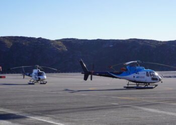
In the coming weeks, Asiaq will measure the water depths in nine ports around the country.
To strengthen sailing safety and create a better framework for transport, supply and business, the measurement of water depths in nine ports is now underway.
This is stated by Naalakkersuisut in a press release.
It is the Department for Housing, Infrastructure, Outlying Districts and Emergency Services that has entered into an agreement with Asiaq, which will be responsible for the surveys, which will provide updated and accurate information about the depth conditions in the selected ports.
According to Naalakkersuisut, the data must ultimately be sent to the Geodata Agency, where they will be incorporated into the Greenland harbor pilot.
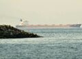
The Greenland harbor pilot is a public database where sailors have access to information about the depth conditions in the many Greenlandic ports, and the database is maintained by the Geodata Agency.
Naalakkersuisoq: Investing in citizens’ safety
Naalakkersuisoq Iddimanngiiu Jensen Bianco welcomes the initiative:
“Good and safe harbors are essential for everyday life both in the large settlements and in our outer districts. When we invest in updated lake surveys, we invest directly in the safety of citizens, in the business world and in a more stable supply,” says naalakkersuisoq for housing, infrastructure, outer districts and preparedness, Iddimanngiiu Jensen Bianco (IA).
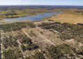
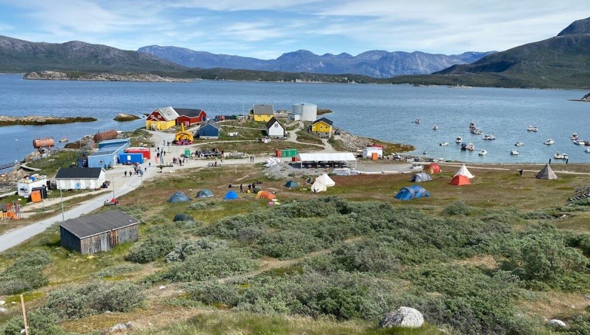
The nine ports to be measured are:
-
Qeqertarsuatsiaat
-
Capisillite
-
Kangerlussuaq
-
Atomic
-
Napasoq
-
Kangaamiut
-
Sarfannguit
-
Itilleq
-
Sisimiut