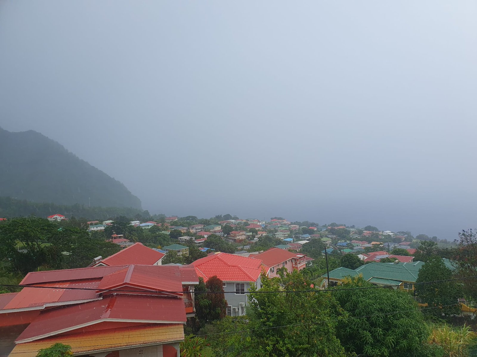
A tropical wave is forecast to continue affecting the region tonight, resulting in cloudy conditions with showers and possible isolated thunderstorms. People in areas prone to flooding, landslides and rockfalls should remain alert and exercise caution.
An increase in wind speed is expected overnight, extending into the weekend. Stronger winds are possible in mountainous areas.
An increase in Saharan dust concentration is expected tonight, lingering into Saturday morning. This is likely to result in moderate to poor air quality and low visibility. Individuals with asthma, allergies and other dust sensitivities should continue to take the necessary precautions. Mariners should carry navigational devices due to reduced visibility.
Moderate seas are forecast over the next 24 hours, with waves reaching up to 5 feet along the west coast and up to 8 feet along the east coast. A small craft advisory may come into effect on Thursday. Small craft operators and sea bathers should exercise caution.
Meanwhile, the National Hurricane Centre is monitoring two tropical waves in the eastern Atlantic. The first wave has a high chance of development over the next 7 days and could become a tropical depression over the Atlantic Ocean as it moves westward to west-northwestward. This wave is forecast to be in the area over the weekend. Interests across the Lesser Antilles should monitor the progress of this wave. Mariners in Dominica, especially out on the east coast, should begin to prepare for rough seas over the weekend, likely to begin on Friday night. Keep updated.
Tropical Storm Cristobal formed in the north-central Atlantic and poses no threat to the region.