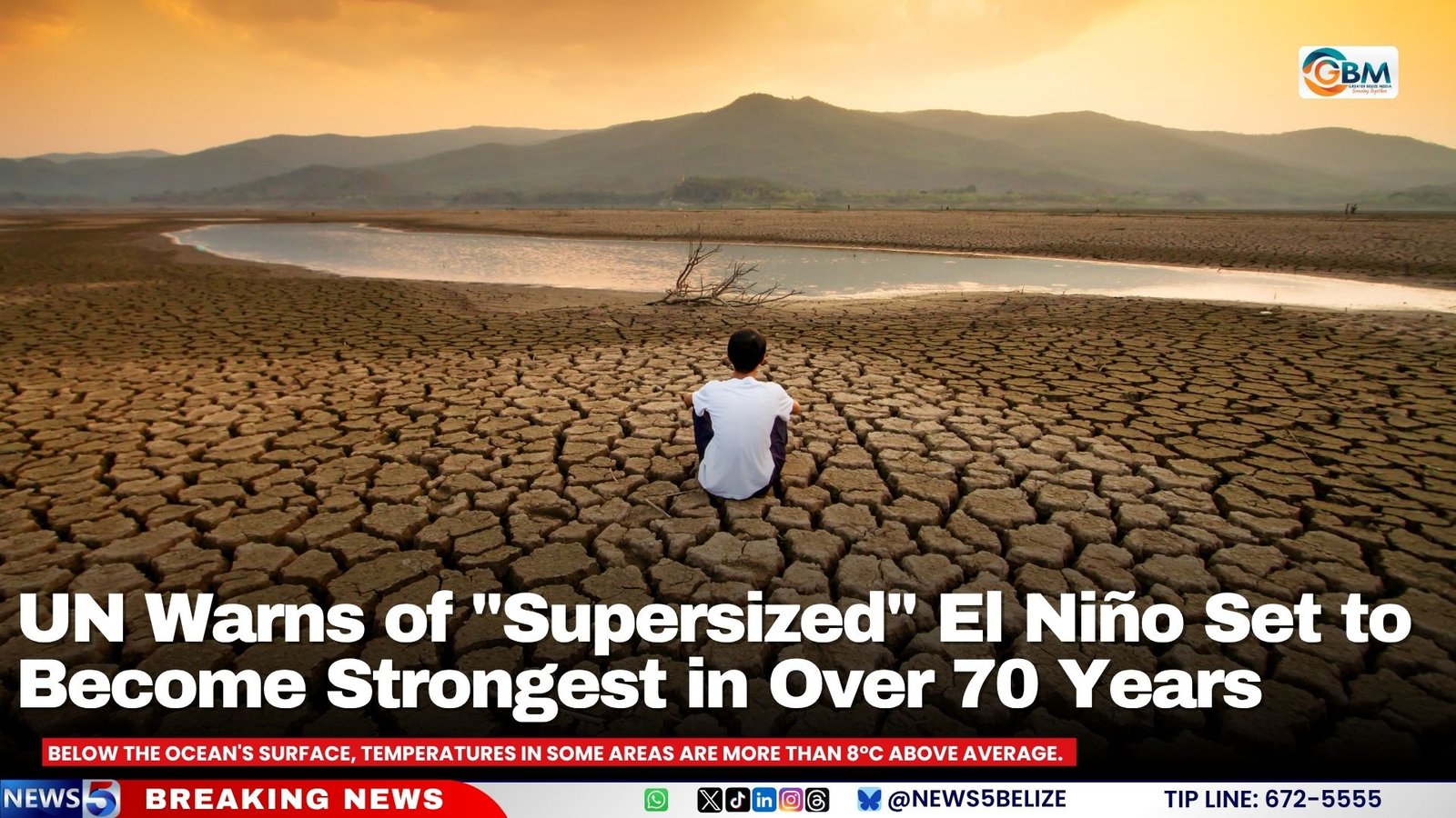
The world has entered what UN Secretary-General António Guterres calls a “danger zone of extreme weather,” as a rapidly intensifying El Niño threatens to become the strongest event of its kind in more than seven decades.
According to new data from the World Meteorological Organization, the current El Niño could persist until at least February 2027 and is on track to surpass every event recorded since 1950. Sea surface temperatures in the Pacific’s key monitoring region have already climbed more than 2°C above average in recent weeks, with forecasts suggesting monthly temperatures could approach 4°C above average by November or December.
Below the ocean’s surface, temperatures in some areas are more than 8°C above average. Above-normal sea temperatures are also emerging in the Indian Ocean, tropical Atlantic, and around parts of the Australian coast.
WMO Secretary-General Celeste Saulo warned the phenomenon could hit vulnerable regions hard. “El Niño has the potential to deliver a massive blow to communities and economies across the world.”
Drier-than-usual conditions are forecast across large areas of Southeast Asia, Central America, and northern South America, raising drought and wildfire risk. Indonesia is already battling wildfires that have burned more than 107,000 hectares this dry season, prompting authorities to deploy cloud-seeding aircraft and arrest dozens of people accused of using the fires to clear land illegally.
The Panama Canal, used by roughly 14,000 ships annually and worth about $3 billion a year to Panama’s economy, is cutting vessel traffic by more than 10 percent ahead of expected lower rainfall.
Peru is considered particularly vulnerable to El Niño-driven flooding and landslides. The United States announced last month it is deploying the hospital ship USNS Comfort to the Peruvian coast to provide medical assistance as the event approaches its peak.