
Online maps for winter walks are now available
Keystone-SDA
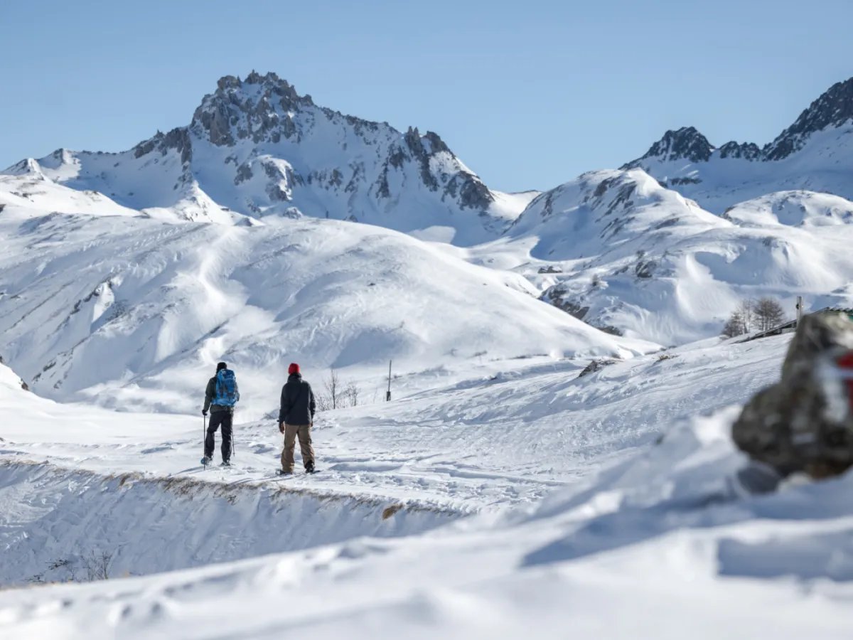
Fans of winter walks and snowshoeing in Switzerland can now consult online maps showing available trails that are usually signposted in pink. The umbrella organisation Swiss Rando launched this new service in collaboration with the federal government.
“To date, we have been able to publish data on winter walking trails totalling 3,210 kilometres in length and snowshoe trails totalling 2,330 kilometres in length,” said Thomas Gloor, head of IT and hiking information at the Suisse Rando association.
The full publication of winter walking and snowshoe trails in the cantons of Fribourg, Neuchâtel and Vaud is still pending, he added. The aim is to make these available as soon as possible.
In all, 688 winter walks and 424 snowshoe trails are now digitally mapped. According to the available data, the longest snowshoe trail is located at the Combe de L’A, near Liddes in canton Valais; it is nearly 15km long and takes six hours and 30 minutes to walk. The highest snowshoe trail, the Hohsaas Trail near Saas-Grund, is also in Valais, at an altitude of over 3,000 metres.
More

More
Climate concerns cast doubt over the future of Winter Olympics
These separate maps for winter walking trails and snowshoe trails, which can be viewed on the Suisse Rando and SuisseMobile websites, in the SuisseMobile app, on the government’s geoportal and in the swisstopo app, meet a real need, the cantonal hiking associations said.
A boost for tourism
Around 20% of the Swiss population regularly uses signposted winter hiking and snowshoe trails, according to a survey conducted as part of the Sport Suisse 2026 study. For tourist destinations too, winter and snowshoe walks play an increasingly important role as an attractive, easily accessible and comparatively inexpensive complement to the existing range of winter sports.
+ Ski holidays set to become more expensive in Switzerland
As well as giving an idea of the geographical location of the trails marked in pink, the new maps offer other practical benefits to users. While the exact data available depends on the platform in question, the Suisse Rando website, for example, allows users to view the distance, duration, ascent and descent, physical difficulty level, altitude and technical difficulty level, said Gloor.
With its guidelines on the signposting of winter walking and snowshoe trails, the handbook ensures reliable navigation along the route, while setting out requirements regarding safety, route alignment and respect for the natural environment of the trails, explained Suisse Rando.
One of the main advantages of this new guide compared with other online platforms is that it is always up to date, thanks to regular updates to the database, the association added. These updates have been coordinated in collaboration with the cantons and the cantonal hiking associations to ensure long-term quality.
Swiss Rando is behind this complex project. The association began implementing it in 2020, in collaboration with its project partners swisstopo, the SwissMobile Foundation and the Federal Roads Office (OFROU).
+ How we produce news in English
Translated from French, reviewed by an English Department journalist.