Uruguayan journalists and a scientist published research that achieved separate how much of the heat generated by a data center comes from the servers and how much from the simple fact of having built on land previously covered in vegetation.
The study analyzed Antel’s data center in Pando and corrects the limitations of the only previous international paper on the subject.
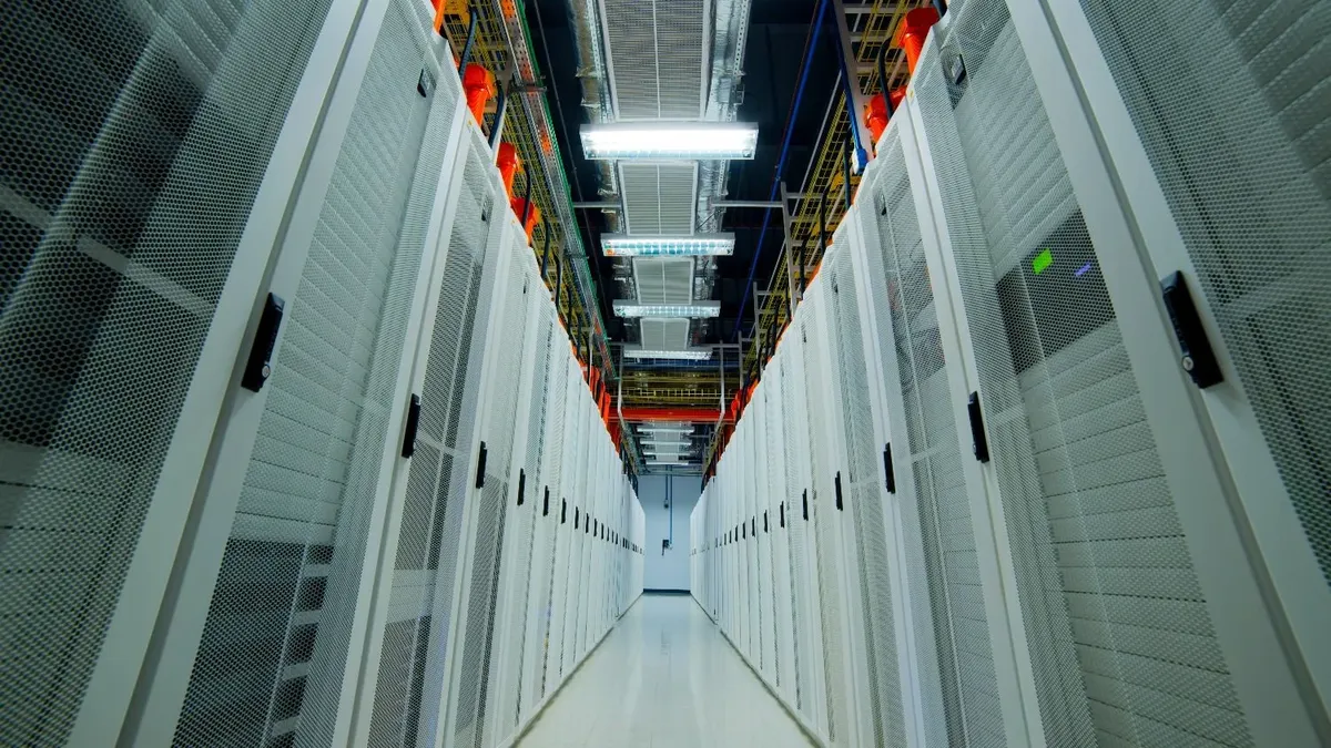
The work used 25 years of Landsat satellite images, operated by NASA and the United States Geological Survey, to measure the surface temperature of the property where the Antel data center in Pando has been operating since May 2016, where about 30 thousand people live.
The satellite measures, from more than 700 kilometers high, how hot the ground, ceilings or pavement of a place are. It does not record the temperature that a person would feel walking on the sidewalk, but rather that of the surfacesand that is enough to locate which areas are warming more than others. Its thermal sensor is accurate to 100 meters, but standard processing refines it to 30 meters: enough to distinguish a building from the street around it.
The analysis was based on more than 32 thousand measurements taken over two and a half decades. The key to the method was to compare the same land at two points in time: before the data center existed (2000 to 2013) and after it began operating (2017 to 2025). Years of construction were excluded so as not to distort the results.
To ensure that any increase was not due to climate change, Pando’s urban growth or natural variations, the statistical model discounted variations that also had two nearby industrial buildings used as reference: a Post Office warehouse and a textile warehouse, neither with processing machinery or industrial refrigeration.
The result? The temperature of the property rose 2.1 °C compared to its surroundings after start-up. About 0.2 °C corresponds to a background trend of the environment. Of the remaining 1.9°C, 83% is explained by land transformation—vegetation replaced by buildings, parking lots, and pavement—and 17%, equivalent to 0.32 °C, corresponds to the active operation of the servers and their cooling. It is the thermal footprint of the data center, isolated from the change in coverage and the heating of the environment.
“Beyond the numbers, which are conservative, what is interesting and significant is the signal that is detected: an increase in heat in the vicinity of the data center,” Orlando explained. “We managed to confirm that part of it is associated with changes in the landscape. But there is another part that can only be explained by the operation. This measurement captures that: the unequivocal signal of a heat emitter.” A third of a degree may not sound like much, but it is the contribution of a single building, measured at 10:30 in the morning—before the daily heat peak—and averaged over 25 years.
What made Uruguayan work different from international study?
In March 2026 it was published “The data heat island effect”by Marinoni and other authors, the first paper that linked data centers with heat islands. It is a preprintthat is, a preliminary version released before being reviewed by other scientists. It reported an average increase of 2 °C around the facilities analyzed, but received methodological criticism from the disseminator Andy Masleyfrom the analyst at the consulting firm Omdia Vlad Galabov and the researcher at the University of Bristol Chris Preist.
All three agreed on the same point: the study could not separate the heat produced by the servers from that accumulated simply by changing vegetation for roofs and pavement. Masley added that the work also did not compare to other types of commercial construction and that the sensor used — called MODIS, with a resolution of 1 kilometer per pixel — was too thick to distinguish a data center from its immediate surroundings.
Farías and Dobrich’s analysis used Landsat, a satellite with 33 times higher resolutioncontrolled all these factors and, according to the literature review carried out, is the first to isolate both components. The probability that the result is a product of chance, according to the statistical model, is less than one in a billion.
The research also detected a spatial pattern that reinforces the finding. In a typical building, heat is provided by the sun on the roof and decreases as one moves away. In the reference sheds this is true: the temperature drops in steps, first to 150 meters and then to 300. In the Antel data center, no. The temperature remains practically the same between the building and the first 150 meters, a kind of thermal plateau which does not appear anywhere else analyzed.
This plateau, according to the study, is only explained by the operation of the cooling system: the outdoor equipment expels jets of hot air that do not stay next to the building but move with the wind and accumulate on the periphery. “No cooling system removes heat: it only moves it from the inside out,” the authors explained.
The data takes on another dimension when looking at what is coming. Antel’s data center in Pando has a maximum capacity of 12 megawatts and, as Menaza Roboto was able to confirm during a visit to the site, during the period analyzed one of its four server rooms was empty. 11 kilometers away, in Ciudad de la Costa, Google builds the Teros Projectits hyperscale data center—the largest category in the industry—with an estimated average power of about 64 MW: five times the maximum capacity of Antel’s. According to the review of the environmental file, none of the studies presented by Google contemplate the heat island effect.