The meteorological phenomenon will enter the national territory in the next four days, increasing the chances of heavy rains in the region.
READ ALSO

The Institute of Hydrology, Meteorology and Environmental Studies (Ideam) confirmed that the first tropical wave of 2026 is approaching Colombian territory. It is estimated that the system, which is currently passing through the Guianas in a western direction, impact the Caribbean region within three to four days.
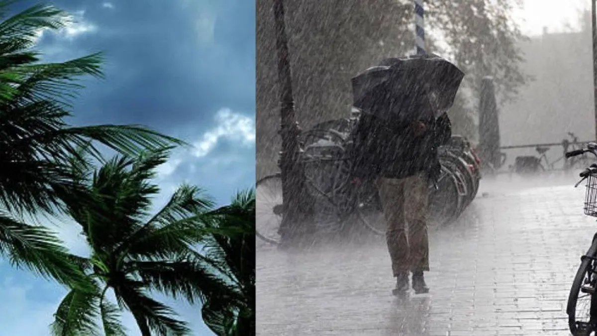
The phenomenon will be accompanied by an increase in the cloudiness and precipitation, marking the beginning of the season of these atmospheric systems in the country.
System characteristics and displacement
Mirovan Sverko Navarrete, meteorologist at Ideam, explained that this tropical wave acts as a disturbance that transports high levels of humidity. Its transit will not only generate rain, but could also alter the speed of the winds and the height of the waves on the Caribbean coast.
The phenomenon will be accompanied by an increase in cloudiness and precipitation. Photo:iStock
For her part, Leidy Rodríguez, Corpoguajira meteorologist, explained that the system moves at a constant speed of between 18 and 28 km/h. However, he specified that, according to satellite images from the National Hurricane Center (NHC), the wave is currently passing through a dry air environment.
READ ALSO

This technical condition suggests that the system could weaken or even dissipate before generating large impacts in the short term.
Forecast by departments and local conditions
Despite the possible weakening of the wave, environmental authorities predict rain in specific sectors of the north of the country. The departments with the highest probability of precipitation are:
- Córdoba and Sucre: rains are expected in various sectors.
- Bolívar, Magdalena and Atlántico: precipitation in dispersed areas.
- Cesar and La Guajira: damage mainly in the north of Cesar and the south of La Guajira.
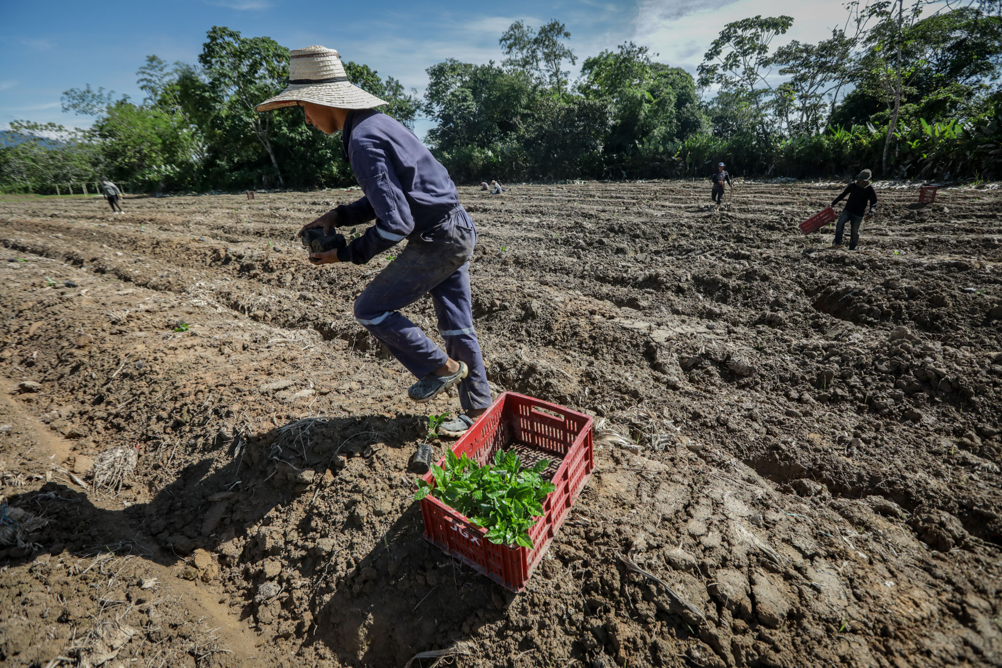
Experts point out that these rains will occur primarily during the afternoon hours. This behavior is due to the interaction of the wave with other systems such as Intertropical Convergence Zone (ITCZ), the Darién Low and the influence of cold fronts from the northern hemisphere.
Heavy rains will occur in the afternoon hours. Photo:iStock
Safety recommendations for the population
Given the change in climatic conditions, meteorological authorities have issued a series of recommendations for the inhabitants of the Caribbean region:
- Surveillance: follow official reports in case of possible isolated rains and sudden changes in temperature.
- Prevention: secure roofs and structures that may be affected by gusts of wind.
- Personal safety: avoid exposure in open spaces during thunderstorms.
- Maintenance: check and clean drains and sewage systems to prevent flooding due to water accumulation.
READ ALSO
Finally, Ideam warned that a second tropical wave has already emerged from the coasts of Africa, although it is It is still far from the national territory and under preventive monitoring.
*This content was written with the assistance of artificial intelligence, based on publicly known information disclosed to the media. In addition, it was reviewed by the journalist and an editor*.
More news in LE TIEMPO
WENDYS PITRE ARIZA
DIGITAL SCOPE EDITORIAL
THE TIME