Pacific Island cities are engines of economic opportunity, generating between 50 and 70 percent of national income. But they are also among the most hazard-exposed urban areas on the planet: one storm, flood, or coastal surge can close ports, block roads, or shut down businesses. When that happens, jobs disappear — sometimes permanently.
With Pacific urban centers projected to host nearly half of the region’s population by 2050, understanding the risks they face is essential. Drawing on the Livable Pacific Cities and Towns Spotlight: Tides of Change – Urban Resilience Across Pacific Landscapes report, this blog explains how World Bank Group diagnostics can help Pacific Island governments better understand their hazard exposure and make smarter decisions for jobs and growth.
Rising Risk, Rising Stakes
A recent World Bank Group study of 38 urban areas across 10 Pacific Island countries found that the number of people exposed to major hazards could more than double by 2050. The value of at-risk building assets is expected to grow from $33 billion to more than $58 billion for cyclone and earthquake hazards alone. With urban populations in the region projected to double in just 25 years, the economic stakes are rising fast.
When these assets are disrupted, the effects ripple outwards quickly. Supply chains slow, tourism declines, businesses close, and workers lose income. For small island economies with limited fiscal buffers and few alternative employment options, the damage can be lasting. Understanding exactly where these risks lie is therefore central for job creation and economic growth in the Pacific.
From Analysis to Action: Three Cities, Three Approaches
The World Bank Group has been piloting a set of practical diagnostic tools to help Pacific cities map their risks and translate that knowledge into smarter decisions. Three recent examples illustrate what this looks like in practice.
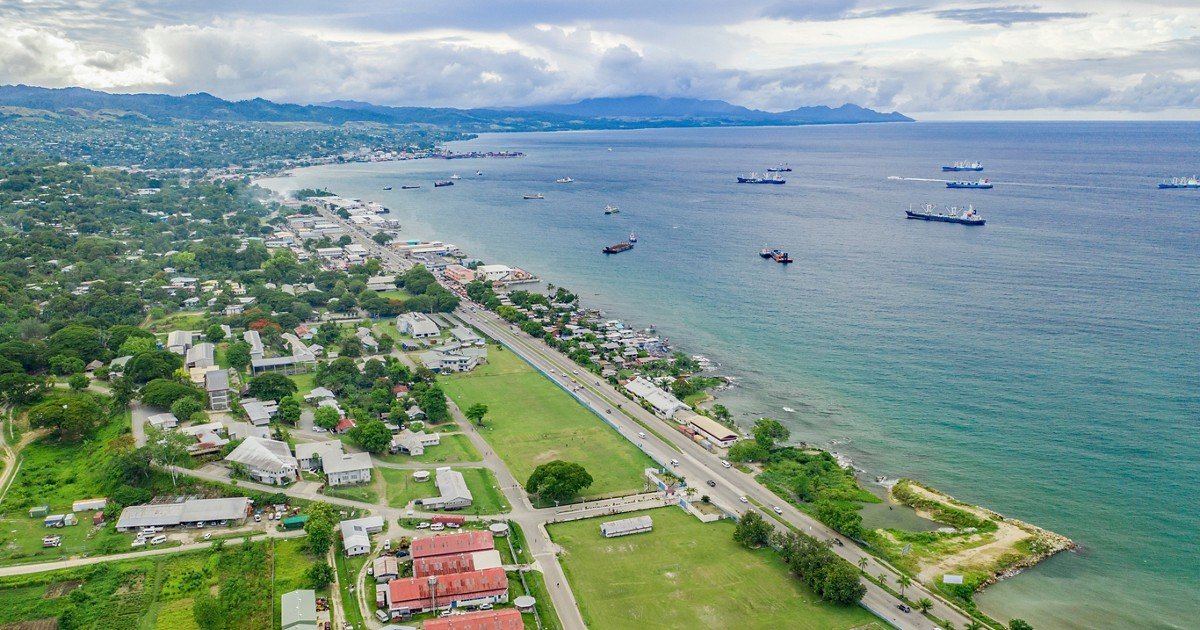
1. Kolonia, Federated States of Micronesia 🇫🇲
Using satellite imagery and global data, analysts produced a “rapid city scan” of how the city functions and where it is most exposed. Much of Kolonia’s economic activity is concentrated in areas increasingly exposed to coastal flooding, sea-level rise, and typhoons. Key roads connecting the town and the nations capital are at risk of disruption. The analysis also identified opportunities: high urban density, strong vegetation coverage, and solar energy potential. These insights can help policymakers direct investment to where it will be most effective, and most durable.