A remote atoll in the western Marshall Islands is showing strong signs of marine recovery after decades without permanent human settlement, according to scientists on a National Geographic Pristine Seas (NGPS) expedition.
The team has just left Ujelang Atoll, part of a wider research mission across some of the most isolated waters in the Pacific, which is due to wrap up tomorrow (Saturday) after a landmark field season involving scientists, local navigators and educators.
The Ujelang Atoll, a western marine sanctuary, has remained largely uninhabited since 1980.
The small atoll has a challenging history, having served as the site of a three-decade exile for the people of Enewetak Atoll, who were forcibly displaced by the United States ahead of its atmospheric nuclear weapons testing program in 1948.
Following the community’s return home, the subsequent 40 years of total isolation from permanent human presence granted nature complete dominion over Ujelang.
Kelly Moore, the Expedition Leader for this second leg, says the groundbreaking field research at Ujelang Atoll marks a major milestone for the historic 50th global voyage.
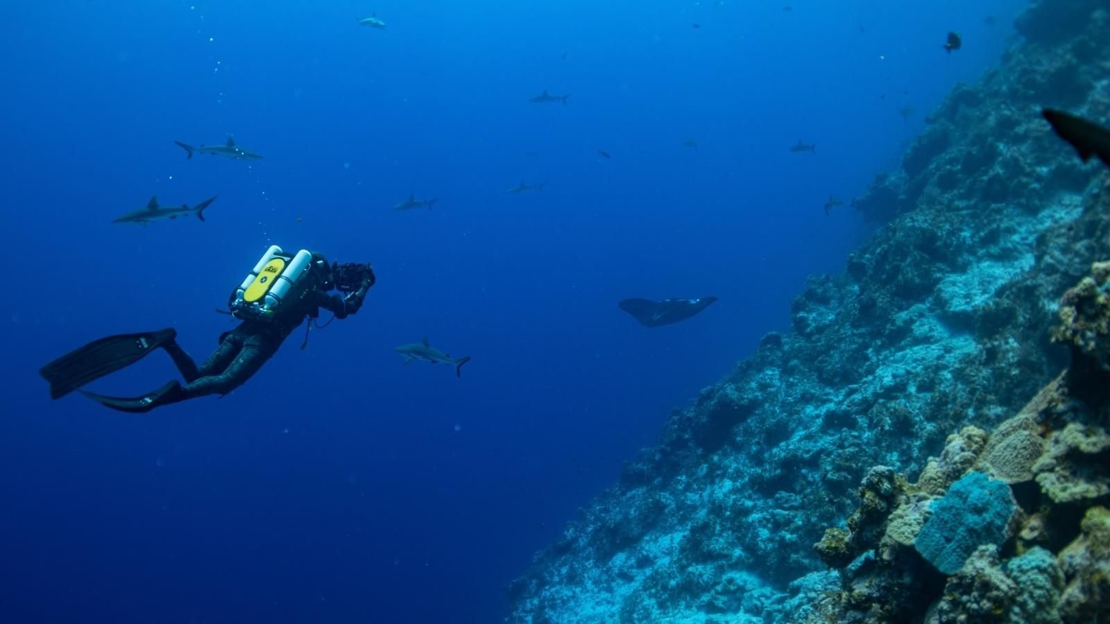
She says the initial findings from the southern edge of Ujelang Atoll indicate a thriving, highly diverse marine habitat despite minor signs of climate stress
Moore says they are seeing sharks, large groupers, turtles and schools of jacks on every dive, in which the dive team always re-emerges “beaming with a story to tell us”.
“The same goes for our deep sea submersible dives in Argonauta and the deep sea cameras that we dropped beyond 2,000 metres deep,” she says.
Listen to Kelly Moore’s full interview below.
“We saw chimaeras, more sharks, and this beautiful wall of glass sponges. If you’re not familiar with what these look like, they’re beautiful structures that are so intricate. They were this vertical wall, almost 800 metres below the sea.
“We were only able to sample a couple of days here, but it seems like this place would exceed all of our expectations. We’re excited to see what the data can tell us when we’re finished.”
The expedition also succeeded in replicating seminal ecosystem studies first conducted more than 70 years ago at Enewetak Atoll.
Moore says analysing these long-term multi-decadal changes provides insights for regional sustainability compared to a standard, temporary environmental snapshot.
While outer atolls display incredible health, the wider scientific synthesis shows mixed results across the region.
Earlier legs of the expedition documented signs of environmental stress, including warming-induced “ghost forests” of dead coral at Bokak Atoll and a drop in nesting seabird populations at Taka Atoll.
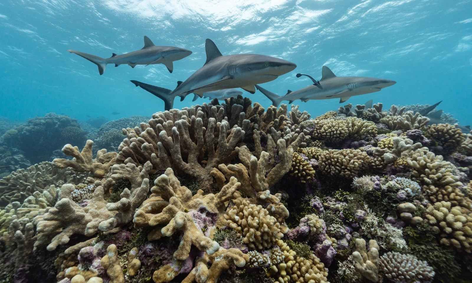
Sharks patrol the reefs of Taka Atoll. Photo/National Geographic Pristine Seas/Iñigo San Félix
Moore believes the ultimate legacy of the voyage is the deep partnership built with the Marshall Islands Marine Resources Authority and local researchers
Before embarking for Ujelang, the crew presented their preliminary data face-to-face to the Enewetak community.
The local residents welcomed the scientists with traditional dancing and a massive celebratory feast of breadfruit, fresh fish, coconut rice, and a whole roasted pig.
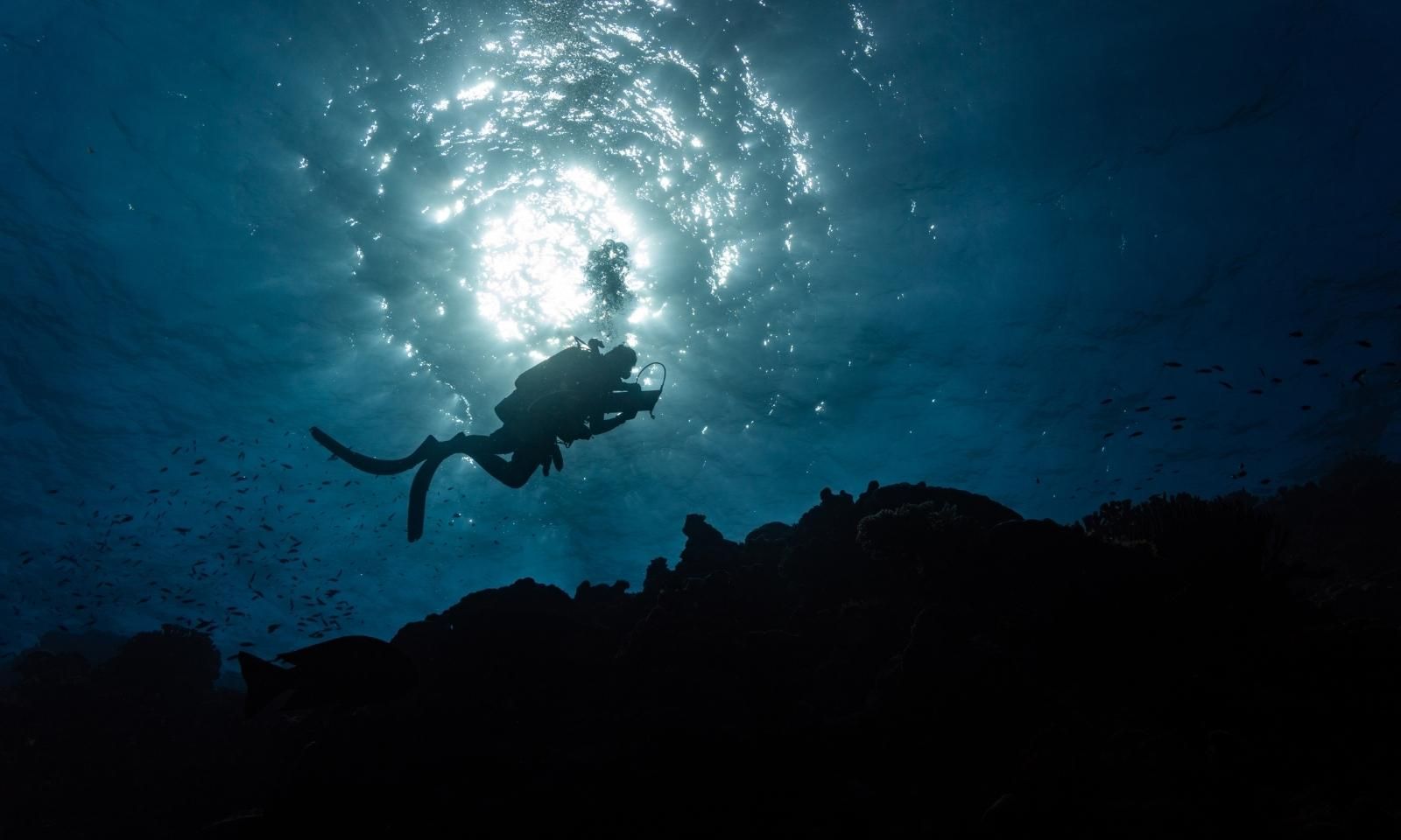
A National Geographic Pristine Seas team member surveys the reefs of Erikub Atoll. Photo/National Geographic Pristine Seas/Iñigo San Félix
“We’ve been moved every day that we’ve been here, not just in Ujalang, but also in Eniwetok. The nuclear legacy here is something that is with us in all of the work that we do.
“Many of our team have referenced these studies in their own work in their fields over the years in their careers. We’re all feeling grateful for this opportunity. We feel like we’ve accomplished a lot.
“These new friendships, of course, with our local partners, and then beautiful memories that we’ll carry for a lifetime.”
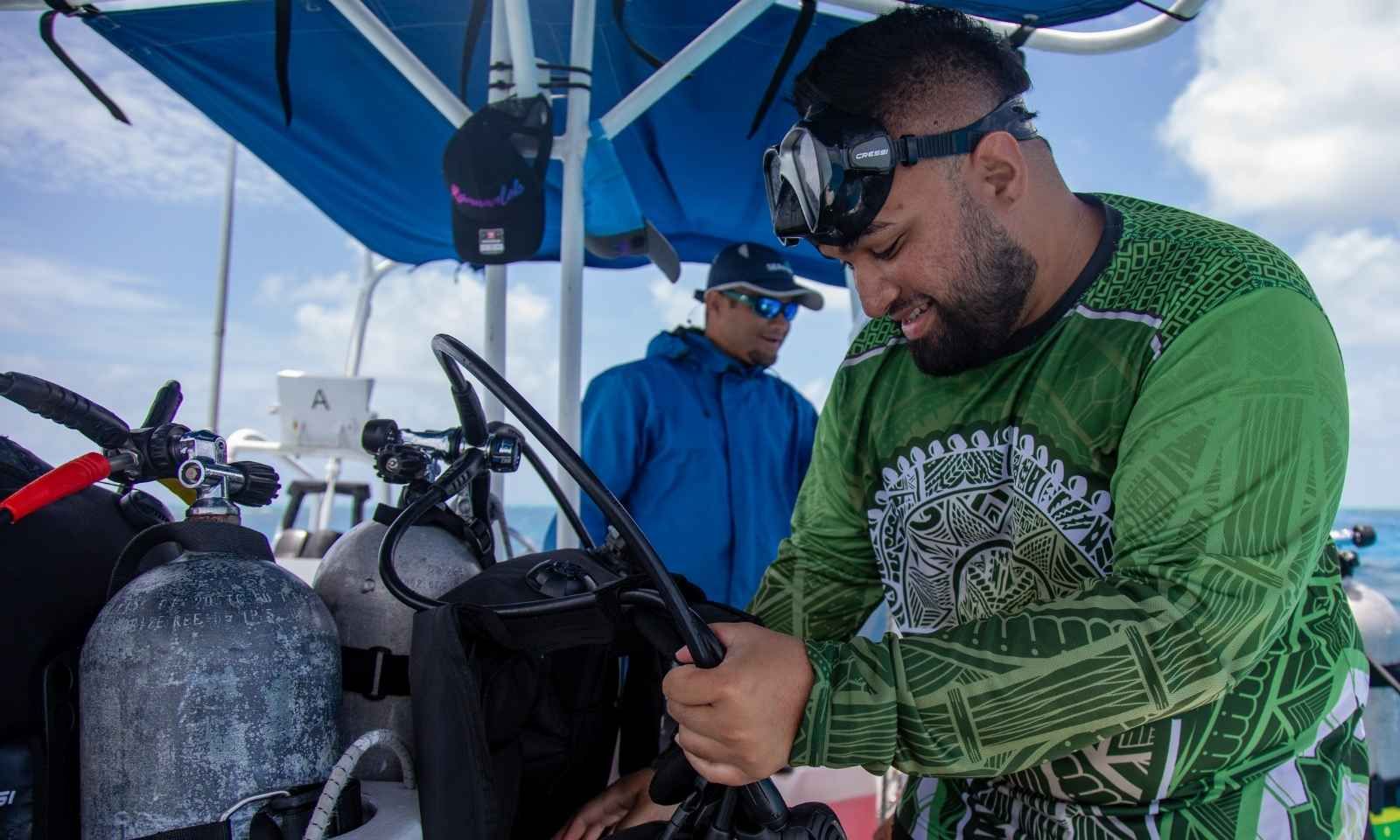
Bryant Jeffery Zebedy, a scientist from the Marshall Island Marine Resources Authority and Pristine Seas team member prepares for a SCUBA dive near Taka Atoll. Photo/National Geographic Pristine Seas
The research vessel Argo is now heading back to Majuro on a three-day crossing as the expedition enters its final phase with scientists preparing to processdata that will help guide future marine protection efforts led by local communities.
Moore says all findings will feed into the Reimaanlok framework, the Marshall Islands’ national resource management system.
This legal structure combines scientific research with traditional knowledge and ensures local leadership over environmental data and decision-making.